Distance to Columbia, Maryland

Calculating Your Route
Just a moment while we process your request...
Location Information
-
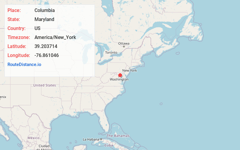
Full AddressColumbia, MD
-
Coordinates39.2037144, -76.8610462
-
LocationColumbia , Maryland , US
-
TimezoneAmerica/New_York
-
Current Local Time1:29:23 PM America/New_YorkTuesday, June 3, 2025
-
Page Views0
About Columbia
Columbia is a planned community in Howard County, Maryland, United States, consisting of 10 self-contained villages. With a population of 104,681 at the 2020 census, it is the second-most-populous community in Maryland, after Baltimore.


Nearby Places
Found 8 places within 50 miles

Baltimore
14.7 mi
23.7 km
Baltimore, MD
Get directions

Silver Spring
17.2 mi
27.7 km
Silver Spring, MD
Get directions

Germantown
22.1 mi
35.6 km
Germantown, MD
Get directions

Washington
22.6 mi
36.4 km
Washington, DC
Get directions

Arlington National Cemetery
25.2 mi
40.6 km
Arlington National Cemetery, Arlington, VA
Get directions

Alexandria
29.3 mi
47.2 km
Alexandria, VA
Get directions

Frederick
32.8 mi
52.8 km
Frederick, MD
Get directions

Waldorf
40.0 mi
64.4 km
Waldorf, MD
Get directions
Location Links
Local Weather
Weather Information
Coming soon!
Location Map
Static map view of Columbia, Maryland
Browse Places by Distance
Places within specific distances from Columbia
Short Distances
Long Distances
Click any distance to see all places within that range from Columbia. Distances shown in miles (1 mile ≈ 1.61 kilometers).