Distance to Comal County, Texas

Calculating Your Route
Just a moment while we process your request...
Location Information
-
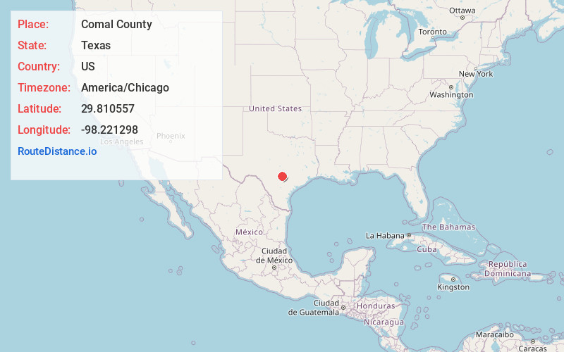
Full AddressComal County, TX
-
Coordinates29.8105572, -98.2212979
-
LocationTexas , US
-
TimezoneAmerica/Chicago
-
Current Local Time12:09:26 AM America/ChicagoFriday, June 13, 2025
-
Page Views0
About Comal County
Comal County is a county located on the Edwards Plateau in the U.S. state of Texas. As of the 2020 census, its population was 161,501. Comal County is known for its rich German-Texan and European history. Its county seat is New Braunfels.


Nearby Places
Found 10 places within 50 miles

Canyon Lake
5.1 mi
8.2 km
Canyon Lake, TX
Get directions
New Braunfels
9.5 mi
15.3 km
New Braunfels, TX
Get directions
Bulverde
12.1 mi
19.5 km
Bulverde, TX
Get directions

Garden Ridge
12.8 mi
20.6 km
Garden Ridge, TX
Get directions

Lake Dunlap
13.4 mi
21.6 km
Lake Dunlap, Texas 78130
Get directions

Wimberley
14.9 mi
24.0 km
Wimberley, TX 78676
Get directions

Woodcreek
16.4 mi
26.4 km
Woodcreek, TX 78676
Get directions
Santa Clara
16.6 mi
26.7 km
Santa Clara, TX
Get directions

Timberwood Park
17.0 mi
27.4 km
Timberwood Park, TX
Get directions

Marion
17.2 mi
27.7 km
Marion, TX 78124
Get directions
Location Links
Local Weather
Weather Information
Coming soon!
Location Map
Static map view of Comal County, Texas
Browse Places by Distance
Places within specific distances from Comal County
Short Distances
Long Distances
Click any distance to see all places within that range from Comal County. Distances shown in miles (1 mile ≈ 1.61 kilometers).