Distance to Comstock, Texas

Calculating Your Route
Just a moment while we process your request...
Location Information
-
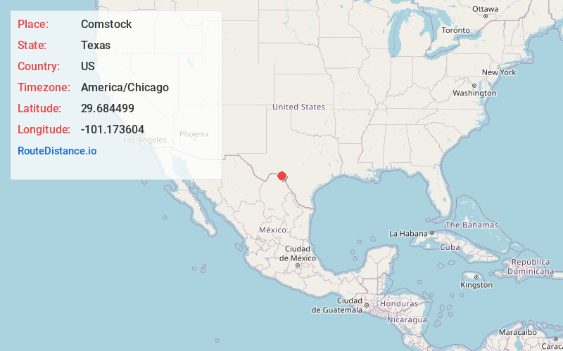
Full AddressComstock, TX 78837
-
Coordinates29.6844994, -101.1736037
-
LocationComstock , Texas , US
-
TimezoneAmerica/Chicago
-
Current Local Time9:37:20 PM America/ChicagoSaturday, May 17, 2025
-
Page Views0
About Comstock
Comstock is an unincorporated community located in Val Verde County, Texas, United States, approximately 20 miles northwest of Del Rio on U.S. 90. It is the town nearest to Seminole Canyon, which has been a site of human habitation for 9,000 years. In 2010, Comstock had a population of 475 residents.


Nearby Places
Found 9 places within 50 miles

Box Canyon-Amistad
11.2 mi
18.0 km
Box Canyon-Amistad, TX 78840
Get directions

Langtry
24.7 mi
39.8 km
Langtry, TX 78871
Get directions

Cienegas Terrace
26.1 mi
42.0 km
Cienegas Terrace, TX 78840
Get directions

Del Rio
27.4 mi
44.1 km
Del Rio, TX 78840
Get directions

Loma Alta
28.9 mi
46.5 km
Loma Alta, TX 78840
Get directions
Juno
32.5 mi
52.3 km
Juno, TX 76943
Get directions

Laughlin AFB
32.6 mi
52.5 km
Laughlin AFB, TX
Get directions
Pumpville
38.3 mi
61.6 km
Pumpville, TX 78871
Get directions
Pandale
41.0 mi
66.0 km
Pandale, TX 76943
Get directions
Location Links
Local Weather
Weather Information
Coming soon!
Location Map
Static map view of Comstock, Texas
Browse Places by Distance
Places within specific distances from Comstock
Short Distances
Long Distances
Click any distance to see all places within that range from Comstock. Distances shown in miles (1 mile ≈ 1.61 kilometers).