Distance to Conehatta, Mississippi

Calculating Your Route
Just a moment while we process your request...
Location Information
-
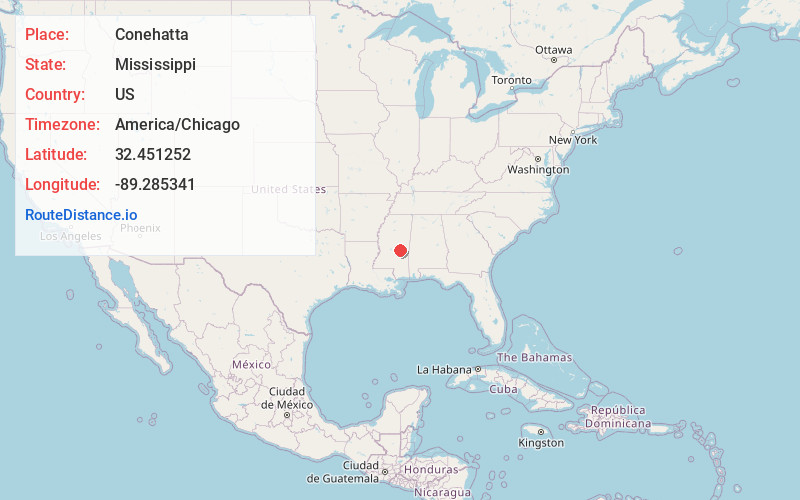
Full AddressConehatta, MS 39057
-
Coordinates32.4512523, -89.2853407
-
LocationConehatta , Mississippi , US
-
TimezoneAmerica/Chicago
-
Current Local Time2:43:04 AM America/ChicagoSaturday, May 24, 2025
-
Page Views0
About Conehatta
Conehatta is a census-designated place in Newton County, Mississippi. The population was 1376 at the 2020 census. It is one of the eight communities included in the Mississippi Band of Choctaw Indians Reservation and the population is 76% Choctaw.
The community takes its name from Conehatta Creek.
Nearby Places
Found 10 places within 50 miles

Decatur
10.4 mi
16.7 km
Decatur, MS 39327
Get directions

Newton
11.5 mi
18.5 km
Newton, MS 39345
Get directions

Forest
12.5 mi
20.1 km
Forest, MS 39074
Get directions

Union
12.7 mi
20.4 km
Union, MS 39365
Get directions

Morton
22.6 mi
36.4 km
Morton, MS 39117
Get directions

Pearl River
23.2 mi
37.3 km
Pearl River, MS 39350
Get directions

Philadelphia
24.2 mi
38.9 km
Philadelphia, MS 39350
Get directions

Carthage
24.3 mi
39.1 km
Carthage, MS 39051
Get directions

Collinsville
25.8 mi
41.5 km
Collinsville, MS 39325
Get directions

Nellieburg
29.8 mi
48.0 km
Nellieburg, MS
Get directions
Location Links
Local Weather
Weather Information
Coming soon!
Location Map
Static map view of Conehatta, Mississippi
Browse Places by Distance
Places within specific distances from Conehatta
Short Distances
Long Distances
Click any distance to see all places within that range from Conehatta. Distances shown in miles (1 mile ≈ 1.61 kilometers).