Distance to Conkling, Kentucky

Calculating Your Route
Just a moment while we process your request...
Location Information
-
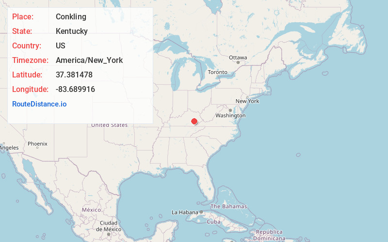
Full AddressConkling, KY 41364
-
Coordinates37.3814778, -83.6899159
-
LocationKentucky , US
-
TimezoneAmerica/New_York
-
Current Local Time2:25:01 AM America/New_YorkSaturday, June 14, 2025
-
Page Views0
About Conkling
Conkling is an unincorporated community located in Owsley County, Kentucky, United States. Its post office closed in December 1972.
Nearby Places
Found 10 places within 50 miles

Taft
1.4 mi
2.3 km
Taft, KY 41364
Get directions
Major
2.3 mi
3.7 km
Major, KY 41364
Get directions
Blake
2.7 mi
4.3 km
Blake, KY 40983
Get directions
Trixie
3.4 mi
5.5 km
Trixie, KY 40972
Get directions
Ricetown
3.7 mi
6.0 km
Ricetown, KY 41364
Get directions
Island City
4.4 mi
7.1 km
Island City, KY 40983
Get directions
Alger
5.2 mi
8.4 km
Alger, KY 40962
Get directions
Scoville
5.3 mi
8.5 km
Scoville, KY 41311
Get directions
Felty
5.5 mi
8.9 km
Felty, KY 40962
Get directions
Chestnut Gap
5.6 mi
9.0 km
Chestnut Gap, KY 41364
Get directions
Location Links
Local Weather
Weather Information
Coming soon!
Location Map
Static map view of Conkling, Kentucky
Browse Places by Distance
Places within specific distances from Conkling
Short Distances
Long Distances
Click any distance to see all places within that range from Conkling. Distances shown in miles (1 mile ≈ 1.61 kilometers).