Distance to Cooks Run, Pennsylvania

Calculating Your Route
Just a moment while we process your request...
Location Information
-
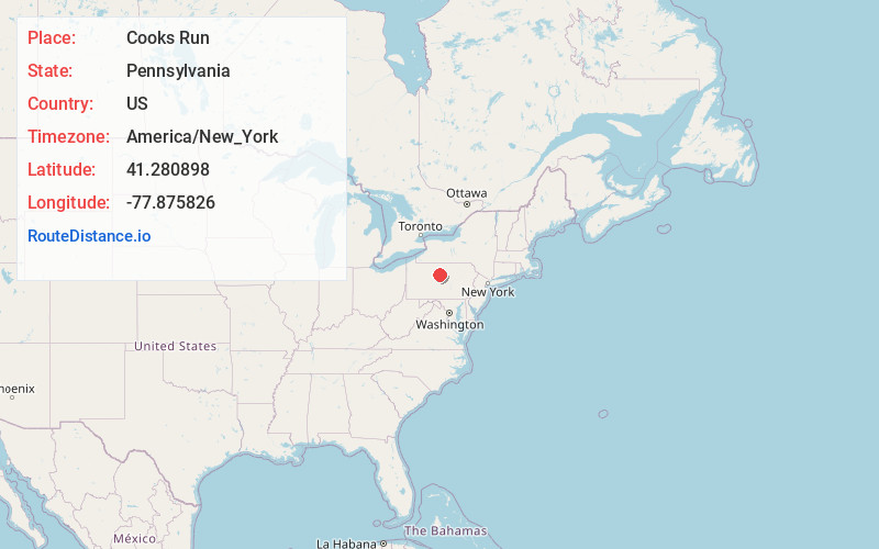
Full AddressCooks Run, PA 17764
-
Coordinates41.2808982, -77.8758263
-
LocationCooks Run , Pennsylvania , US
-
TimezoneAmerica/New_York
-
Current Local Time6:52:04 PM America/New_YorkFriday, June 20, 2025
-
Page Views0
About Cooks Run
Cooks Run is an unincorporated community within Noyes Township in Clinton County, Pennsylvania, United States.
Cooks Run was first settled around the time of the American Revolution or shortly after and was known for many years as McGinley's Bottom.
Nearby Places
Found 10 places within 50 miles

Keating
2.1 mi
3.4 km
Keating, PA 17778
Get directions
Shintown
4.3 mi
6.9 km
Shintown, PA 17764
Get directions
East Keating Township
6.3 mi
10.1 km
East Keating Township, PA
Get directions

Renovo
7.2 mi
11.6 km
Renovo, PA 17764
Get directions

South Renovo
7.2 mi
11.6 km
South Renovo, PA 17764
Get directions
Birch
7.9 mi
12.7 km
Birch, West Keating Township, PA 16845
Get directions
Twin Hollows
8.9 mi
14.3 km
Twin Hollows, Burnside Township, PA 17778
Get directions
Leidy
8.9 mi
14.3 km
Leidy, PA 17764
Get directions
Farwell
9.1 mi
14.6 km
Farwell, PA 17764
Get directions

West Keating Township
9.6 mi
15.4 km
West Keating Township, PA
Get directions
Location Links
Local Weather
Weather Information
Coming soon!
Location Map
Static map view of Cooks Run, Pennsylvania
Browse Places by Distance
Places within specific distances from Cooks Run
Short Distances
Long Distances
Click any distance to see all places within that range from Cooks Run. Distances shown in miles (1 mile ≈ 1.61 kilometers).