Distance to Cooks Summit, Pennsylvania

Calculating Your Route
Just a moment while we process your request...
Location Information
-
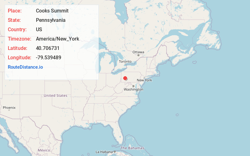
Full AddressCooks Summit, Bethel Township, PA 16226
-
Coordinates40.7067313, -79.5394893
-
LocationBethel Township , Pennsylvania , US
-
TimezoneAmerica/New_York
-
Current Local Time12:57:23 PM America/New_YorkTuesday, July 1, 2025
-
Page Views0
Nearby Places
Found 10 places within 50 miles

Rosston
3.1 mi
5.0 km
Rosston, Manor Township, PA 16226
Get directions
Dime
3.5 mi
5.6 km
Dime, Parks Township, PA 15690
Get directions
Ford Cliff
3.7 mi
6.0 km
Ford Cliff, PA
Get directions

Cadogan
3.9 mi
6.3 km
Cadogan, PA 16229
Get directions
Lenape Heights
4.1 mi
6.6 km
Lenape Heights, PA 16226
Get directions
North Buffalo
4.5 mi
7.2 km
North Buffalo, PA 16201
Get directions

Ford City
4.6 mi
7.4 km
Ford City, PA
Get directions
Hungry Hollow
4.7 mi
7.6 km
Hungry Hollow, PA 15656
Get directions
Pattonville
4.8 mi
7.7 km
Pattonville, Lenape Heights, PA 16226
Get directions
Shay
4.9 mi
7.9 km
Shay, Kittanning Township, PA 16226
Get directions
Location Links
Local Weather
Weather Information
Coming soon!
Location Map
Static map view of Cooks Summit, Pennsylvania
Browse Places by Distance
Places within specific distances from Cooks Summit
Short Distances
Long Distances
Click any distance to see all places within that range from Cooks Summit. Distances shown in miles (1 mile ≈ 1.61 kilometers).