Distance to and from Cookstown, New Jersey
Cookstown, New Hanover, NJ
New Hanover
New Jersey
US
America/New_York
Location Information
-
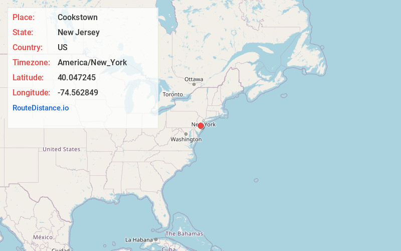
Full AddressCookstown, New Hanover, NJ
-
Coordinates40.0472445, -74.5628486
-
NeighborhoodCookstown
-
LocationNew Hanover , New Jersey , US
-
TimezoneAmerica/New_York
-
Current Local Time11:03:44 AM America/New_YorkSaturday, May 3, 2025
-
Page Views0
Directions to Nearest Cities
About Cookstown
Cookstown is an unincorporated community and census-designated place located within New Hanover Township in Burlington County, in the U.S. state of New Jersey. Located near Fort Dix, the area is served as United States Postal Service ZIP Code 08511.
Nearby Places
Found 10 places within 50 miles

North Hanover
2.0 mi
3.2 km
North Hanover, NJ
Get directions

Plumsted
2.2 mi
3.5 km
Plumsted, NJ
Get directions

New Hanover
3.2 mi
5.1 km
New Hanover, NJ
Get directions

Chesterfield Township
6.2 mi
10.0 km
Chesterfield Township, NJ
Get directions

Upper Freehold
7.2 mi
11.6 km
Upper Freehold, NJ
Get directions

Pemberton
8.2 mi
13.2 km
Pemberton, NJ 08068
Get directions

Mansfield
8.5 mi
13.7 km
Mansfield, NJ
Get directions

Allentown
9.1 mi
14.6 km
Allentown, NJ 08501
Get directions

Bordentown
10.3 mi
16.6 km
Bordentown, NJ 08505
Get directions

Fieldsboro
10.7 mi
17.2 km
Fieldsboro, NJ 08505
Get directions
North Hanover
2.0 mi
3.2 km
North Hanover, NJ
Plumsted
2.2 mi
3.5 km
Plumsted, NJ
New Hanover
3.2 mi
5.1 km
New Hanover, NJ
Chesterfield Township
6.2 mi
10.0 km
Chesterfield Township, NJ
Upper Freehold
7.2 mi
11.6 km
Upper Freehold, NJ
Pemberton
8.2 mi
13.2 km
Pemberton, NJ 08068
Mansfield
8.5 mi
13.7 km
Mansfield, NJ
Allentown
9.1 mi
14.6 km
Allentown, NJ 08501
Bordentown
10.3 mi
16.6 km
Bordentown, NJ 08505
Fieldsboro
10.7 mi
17.2 km
Fieldsboro, NJ 08505
Location Links
Local Weather
Weather Information
Coming soon!
Location Map
Static map view of Cookstown, New Jersey
Browse Places by Distance
Places within specific distances from Cookstown
Short Distances
Long Distances
Click any distance to see all places within that range from Cookstown. Distances shown in miles (1 mile ≈ 1.61 kilometers).