Distance to Cooksville, Kentucky

Calculating Your Route
Just a moment while we process your request...
Location Information
-
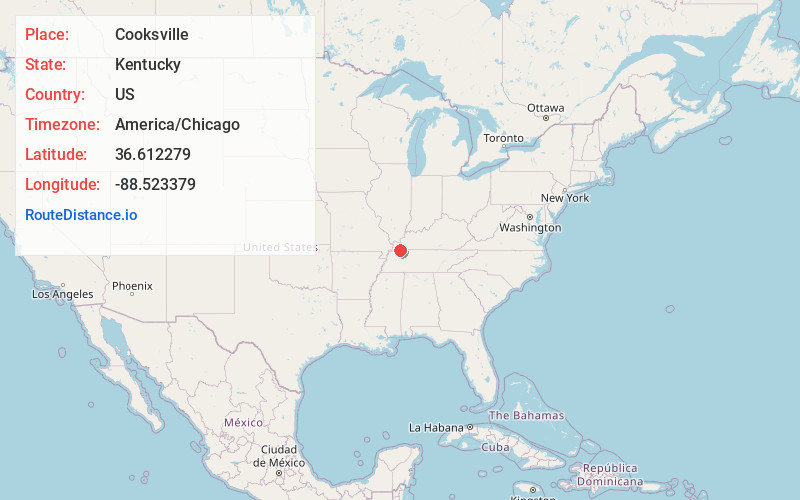
Full AddressCooksville, KY 42040
-
Coordinates36.6122794, -88.5233791
-
LocationKentucky , US
-
TimezoneAmerica/Chicago
-
Current Local Time12:09:20 AM America/ChicagoMonday, June 30, 2025
-
Page Views0
Nearby Places
Found 10 places within 50 miles

Vealsburg
1.1 mi
1.8 km
Vealsburg, KY 42040
Get directions
Browns Grove
2.2 mi
3.5 km
Browns Grove, KY 42071
Get directions
Farmington
4.0 mi
6.4 km
Farmington, KY
Get directions

Sedalia
5.0 mi
8.0 km
Sedalia, KY
Get directions
Boydsville
7.6 mi
12.2 km
Boydsville, KY 42079
Get directions
Payne
7.9 mi
12.7 km
Payne, KY 42066
Get directions

Mayfield
10.9 mi
17.5 km
Mayfield, KY 42066
Get directions

Murray
11.6 mi
18.7 km
Murray, KY 42071
Get directions
Pryorsburg
11.9 mi
19.2 km
Pryorsburg, KY
Get directions

Wingo
12.1 mi
19.5 km
Wingo, KY 42088
Get directions
Location Links
Local Weather
Weather Information
Coming soon!
Location Map
Static map view of Cooksville, Kentucky
Browse Places by Distance
Places within specific distances from Cooksville
Short Distances
Long Distances
Click any distance to see all places within that range from Cooksville. Distances shown in miles (1 mile ≈ 1.61 kilometers).