Distance to Cootes Store, Virginia

Calculating Your Route
Just a moment while we process your request...
Location Information
-
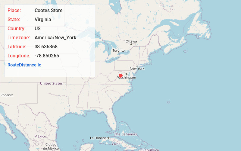
Full AddressCootes Store, VA 22815
-
Coordinates38.636368, -78.8502649
-
LocationCootes Store , Virginia , US
-
TimezoneAmerica/New_York
-
Current Local Time2:47:39 AM America/New_YorkThursday, June 26, 2025
-
Page Views0
About Cootes Store
Cootes Store is an unincorporated community in Rockingham County, Virginia, United States. Located in the Shenandoah Valley, it is situated north of Harrisonburg, south of Bergton, and west of Timberville. The border with West Virginia is nearby, as is the edge of George Washington National Forest.
Nearby Places
Found 10 places within 50 miles

Turleytown
1.9 mi
3.1 km
Turleytown, VA 22815
Get directions

Broadway
3.2 mi
5.1 km
Broadway, VA 22815
Get directions

Fulks Run
3.4 mi
5.5 km
Fulks Run, VA 22830
Get directions
Cherry Grove
3.6 mi
5.8 km
Cherry Grove, VA 22834
Get directions

Timberville
4.1 mi
6.6 km
Timberville, VA
Get directions
Daphna
4.6 mi
7.4 km
Daphna, VA 22815
Get directions
Tunis
4.7 mi
7.6 km
Tunis, VA 22815
Get directions
Yankeetown
6.2 mi
10.0 km
Yankeetown, VA 22830
Get directions
Singers Glen
6.7 mi
10.8 km
Singers Glen, VA
Get directions
Plains Mill
7.1 mi
11.4 km
Plains Mill, VA 22853
Get directions
Location Links
Local Weather
Weather Information
Coming soon!
Location Map
Static map view of Cootes Store, Virginia
Browse Places by Distance
Places within specific distances from Cootes Store
Short Distances
Long Distances
Click any distance to see all places within that range from Cootes Store. Distances shown in miles (1 mile ≈ 1.61 kilometers).