Distance to Copenhagen, Louisiana

Calculating Your Route
Just a moment while we process your request...
Location Information
-
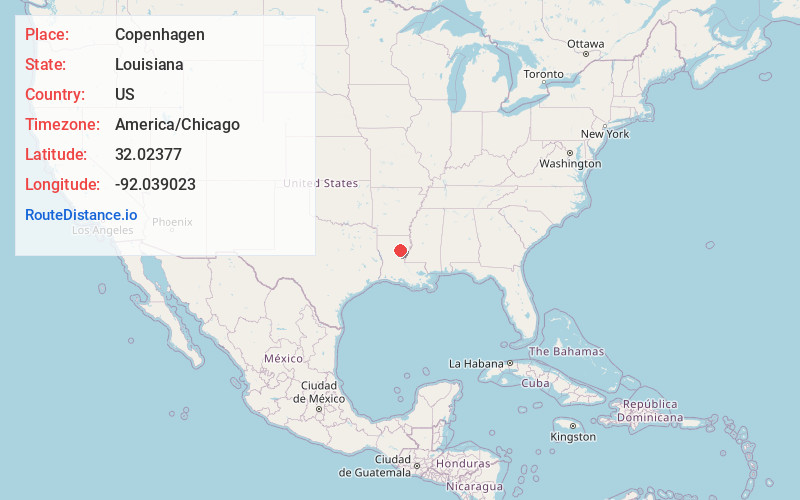
Full AddressCopenhagen, LA 71418
-
Coordinates32.0237703, -92.0390231
-
LocationCopenhagen , Louisiana , US
-
TimezoneAmerica/Chicago
-
Current Local Time4:23:56 AM America/ChicagoWednesday, June 18, 2025
-
Page Views0
About Copenhagen
Copenhagen is an unincorporated community in Caldwell Parish, Louisiana, United States. It is located northeast of Holum, on Highway 849, west and south of the Ouachita River. Its ZIP code is 71418.
Nearby Places
Found 10 places within 50 miles

Holum
3.2 mi
5.1 km
Holum, LA 71435
Get directions
Grayson
4.5 mi
7.2 km
Grayson, LA
Get directions
Banks Springs
5.1 mi
8.2 km
Banks Springs, LA 71418
Get directions
Clarks
5.9 mi
9.5 km
Clarks, LA
Get directions

Columbia
6.1 mi
9.8 km
Columbia, LA 71418
Get directions
Mason
9.4 mi
15.1 km
Mason, LA 71295
Get directions
Liddieville
13.7 mi
22.0 km
Liddieville, LA 71295
Get directions
Cotton Plant
14.5 mi
23.3 km
Cotton Plant, LA 71435
Get directions

Olla
14.6 mi
23.5 km
Olla, LA 71465
Get directions
Nickel
14.8 mi
23.8 km
Nickel, LA 71465
Get directions
Location Links
Local Weather
Weather Information
Coming soon!
Location Map
Static map view of Copenhagen, Louisiana
Browse Places by Distance
Places within specific distances from Copenhagen
Short Distances
Long Distances
Click any distance to see all places within that range from Copenhagen. Distances shown in miles (1 mile ≈ 1.61 kilometers).