Distance to Copperopolis, California

Calculating Your Route
Just a moment while we process your request...
Location Information
-
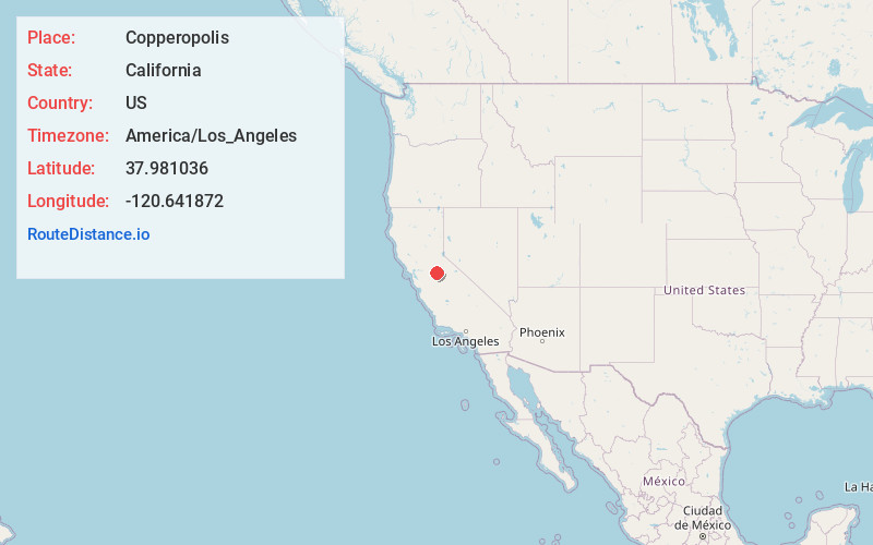
Full AddressCopperopolis, CA 95228
-
Coordinates37.9810358, -120.6418716
-
LocationCopperopolis , California , US
-
TimezoneAmerica/Los_Angeles
-
Current Local Time4:59:03 PM America/Los_AngelesThursday, June 19, 2025
-
Page Views0
About Copperopolis
Copperopolis is an unincorporated town and census-designated place in Calaveras County, California, United States. The population was 3,671 at the 2010 census, up from 2,363 at the 2000 census. The town is located along State Route 4 and is registered as California Historical Landmark #296.


Nearby Places
Found 10 places within 50 miles

Sonora
14.1 mi
22.7 km
Sonora, CA 95370
Get directions

Rancho Calaveras
15.0 mi
24.1 km
Rancho Calaveras, CA 95252
Get directions

Phoenix Lake
18.0 mi
29.0 km
Phoenix Lake, CA 95370
Get directions

Oakdale
18.6 mi
29.9 km
Oakdale, CA 95361
Get directions

Escalon
23.1 mi
37.2 km
Escalon, CA 95320
Get directions

Riverbank
23.3 mi
37.5 km
Riverbank, CA
Get directions

Waterford
24.4 mi
39.3 km
Waterford, CA
Get directions

Jackson
26.4 mi
42.5 km
Jackson, CA 95642
Get directions

Hughson
28.9 mi
46.5 km
Hughson, CA 95326
Get directions

Ione
30.2 mi
48.6 km
Ione, CA
Get directions
Location Links
Local Weather
Weather Information
Coming soon!
Location Map
Static map view of Copperopolis, California
Browse Places by Distance
Places within specific distances from Copperopolis
Short Distances
Long Distances
Click any distance to see all places within that range from Copperopolis. Distances shown in miles (1 mile ≈ 1.61 kilometers).