Distance to and from Coppock, Iowa
Coppock, IA
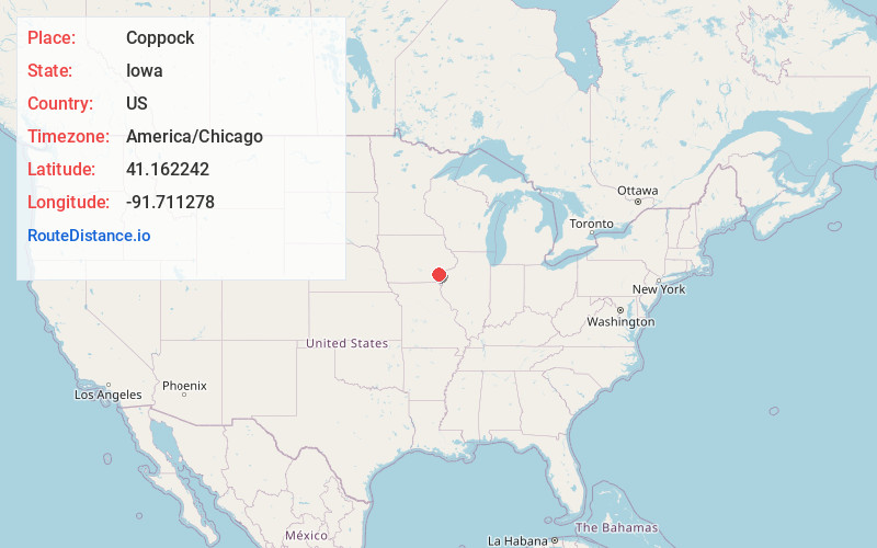
Coppock
Iowa
US
America/Chicago
Location Information
-
Full AddressCoppock, IA
-
Coordinates41.1622416, -91.7112781
-
LocationCoppock , Iowa , US
-
TimezoneAmerica/Chicago
-
Current Local Time8:43:12 PM America/ChicagoMonday, May 5, 2025
-
Page Views0
Directions to Nearest Cities
About Coppock
Coppock is a city in Henry, Jefferson, and Washington counties in the U.S. state of Iowa. The population was 36 at the 2020 census.
The Washington County portion of Coppock is part of the Iowa City, Iowa Metropolitan Statistical Area. There is only one business open to the public, a tavern/boat landing.
Nearby Places
Found 10 places within 50 miles

Wayland
2.8 mi
4.5 km
Wayland, IA 52654
Get directions

Brighton
5.7 mi
9.2 km
Brighton, IA 52540
Get directions
Pleasant Plain
7.8 mi
12.6 km
Pleasant Plain, IA
Get directions
Trenton
7.9 mi
12.7 km
Trenton, IA 52641
Get directions

Olds
8.9 mi
14.3 km
Olds, IA
Get directions
Swedesburg
9.4 mi
15.1 km
Swedesburg, IA
Get directions

Crawfordsville
9.7 mi
15.6 km
Crawfordsville, IA 52621
Get directions

Washington
9.7 mi
15.6 km
Washington, IA 52353
Get directions

Lockridge
11.7 mi
18.8 km
Lockridge, IA 52635
Get directions
Ainsworth
12.0 mi
19.3 km
Ainsworth, IA 52201
Get directions
Wayland
2.8 mi
4.5 km
Wayland, IA 52654
Brighton
5.7 mi
9.2 km
Brighton, IA 52540
Pleasant Plain
7.8 mi
12.6 km
Pleasant Plain, IA
Trenton
7.9 mi
12.7 km
Trenton, IA 52641
Olds
8.9 mi
14.3 km
Olds, IA
Swedesburg
9.4 mi
15.1 km
Swedesburg, IA
Crawfordsville
9.7 mi
15.6 km
Crawfordsville, IA 52621
Washington
9.7 mi
15.6 km
Washington, IA 52353
Lockridge
11.7 mi
18.8 km
Lockridge, IA 52635
Ainsworth
12.0 mi
19.3 km
Ainsworth, IA 52201
Location Links
Local Weather
Weather Information
Coming soon!
Location Map
Static map view of Coppock, Iowa
Browse Places by Distance
Places within specific distances from Coppock
Short Distances
Long Distances
Click any distance to see all places within that range from Coppock. Distances shown in miles (1 mile ≈ 1.61 kilometers).