Distance to Cora Township, Kansas

Calculating Your Route
Just a moment while we process your request...
Location Information
-
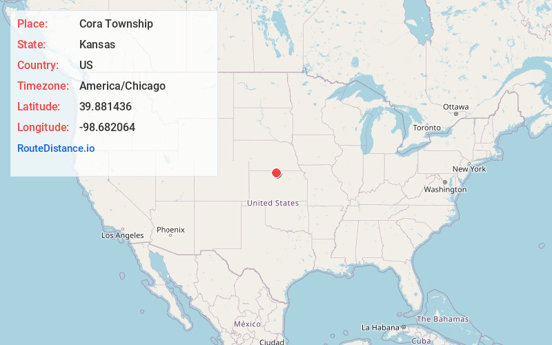
Full AddressCora Township, KS
-
Coordinates39.8814361, -98.6820636
-
LocationCora Township , Kansas , US
-
TimezoneAmerica/Chicago
-
Current Local Time7:27:24 PM America/ChicagoSunday, June 1, 2025
-
Page Views0
Nearby Places
Found 10 places within 50 miles

Lebanon
8.3 mi
13.4 km
Lebanon, KS 66952
Get directions

Smith Center
8.9 mi
14.3 km
Smith Center, KS 66967
Get directions
Esbon
13.7 mi
22.0 km
Esbon, KS 66941
Get directions
Inavale
14.6 mi
23.5 km
Inavale, NE
Get directions
Riverton
14.8 mi
23.8 km
Riverton, NE 68972
Get directions
Athol
15.0 mi
24.1 km
Athol, KS 66932
Get directions

Red Cloud
16.7 mi
26.9 km
Red Cloud, NE 68970
Get directions
Gaylord
18.6 mi
29.9 km
Gaylord, KS 67638
Get directions
Amboy
19.3 mi
31.1 km
Amboy, NE 68970
Get directions
Burr Oak
20.0 mi
32.2 km
Burr Oak, KS 66936
Get directions
Location Links
Local Weather
Weather Information
Coming soon!
Location Map
Static map view of Cora Township, Kansas
Browse Places by Distance
Places within specific distances from Cora Township
Short Distances
Long Distances
Click any distance to see all places within that range from Cora Township. Distances shown in miles (1 mile ≈ 1.61 kilometers).