Distance to Corcoran, California

Calculating Your Route
Just a moment while we process your request...
Location Information
-
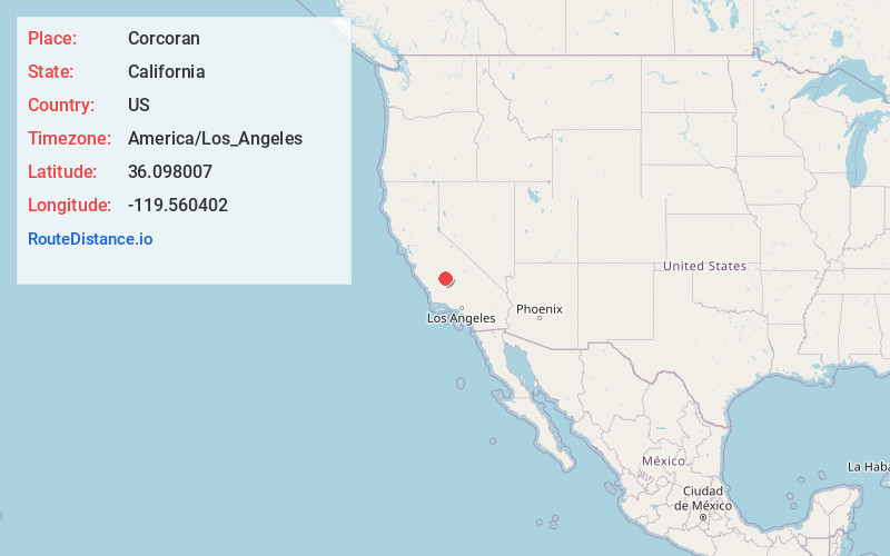
Full AddressCorcoran, CA 93212
-
Coordinates36.098007, -119.5604015
-
LocationCorcoran , California , US
-
TimezoneAmerica/Los_Angeles
-
Current Local Time3:38:56 PM America/Los_AngelesMonday, June 2, 2025
-
Website
-
Page Views0
About Corcoran
Corcoran is a city in Kings County, California, United States. The population was 24,813, up from 14,458. Corcoran is located 17 miles south-southeast of Hanford, at an elevation of 207 ft.
Corcoran is most notable as the site of the California State Prison, Corcoran.


Nearby Places
Found 10 places within 50 miles

Tulare
14.1 mi
22.7 km
Tulare, CA 93274
Get directions

Hanford
16.6 mi
26.7 km
Hanford, CA 93230
Get directions

Lemoore
18.7 mi
30.1 km
Lemoore, CA 93245
Get directions

Visalia
21.8 mi
35.1 km
Visalia, CA
Get directions

Delano
28.7 mi
46.2 km
Delano, CA
Get directions

Porterville
30.5 mi
49.1 km
Porterville, CA 93257
Get directions

Dinuba
32.2 mi
51.8 km
Dinuba, CA
Get directions

Selma
32.8 mi
52.8 km
Selma, CA
Get directions

Reedley
35.0 mi
56.3 km
Reedley, CA
Get directions

Wasco
36.9 mi
59.4 km
Wasco, CA 93280
Get directions
Location Links
Local Weather
Weather Information
Coming soon!
Location Map
Static map view of Corcoran, California
Browse Places by Distance
Places within specific distances from Corcoran
Short Distances
Long Distances
Click any distance to see all places within that range from Corcoran. Distances shown in miles (1 mile ≈ 1.61 kilometers).