Distance to Cordova, Minnesota

Calculating Your Route
Just a moment while we process your request...
Location Information
-
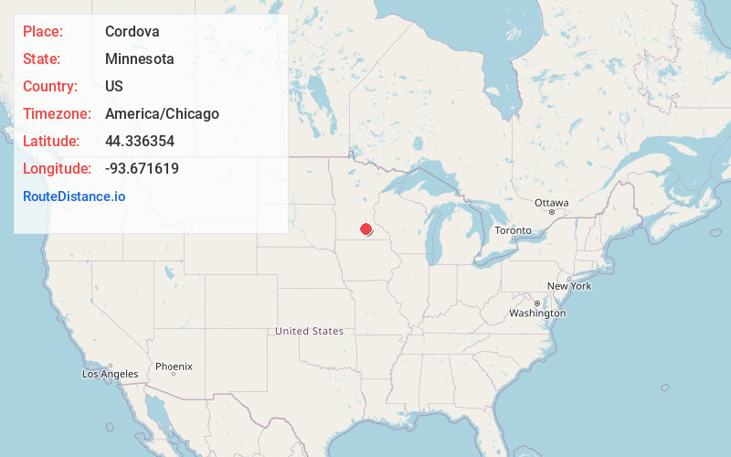
Full AddressCordova, MN 56057
-
Coordinates44.336354, -93.6716191
-
LocationCordova , Minnesota , US
-
TimezoneAmerica/Chicago
-
Current Local Time5:42:22 PM America/ChicagoFriday, June 20, 2025
-
Page Views0
About Cordova
Cordova is an unincorporated community in Cordova Township, Le Sueur County, Minnesota, United States.
The community is located along Le Sueur County Road 2, near its junction with Le Sueur County Road 5 at Gorman Lake.
County Roads 7 and 11 are also in the immediate area. The Little Cannon River is nearby.
Nearby Places
Found 10 places within 50 miles

Le Center
4.7 mi
7.6 km
Le Center, MN 56057
Get directions
Kilkenny
5.1 mi
8.2 km
Kilkenny, MN
Get directions

Cleveland
8.2 mi
13.2 km
Cleveland, MN
Get directions

Montgomery
8.3 mi
13.4 km
Montgomery, MN 56069
Get directions

Elysian
9.5 mi
15.3 km
Elysian, MN 56028
Get directions

Waterville
9.7 mi
15.6 km
Waterville, MN 56096
Get directions
Marysburg
9.8 mi
15.8 km
Marysburg, Washington Township, MN 56063
Get directions
Heidelberg
10.9 mi
17.5 km
Heidelberg, MN 56071
Get directions

Madison Lake
11.6 mi
18.7 km
Madison Lake, MN 56063
Get directions
Wheatland
12.8 mi
20.6 km
Wheatland, MN 56069
Get directions
Location Links
Local Weather
Weather Information
Coming soon!
Location Map
Static map view of Cordova, Minnesota
Browse Places by Distance
Places within specific distances from Cordova
Short Distances
Long Distances
Click any distance to see all places within that range from Cordova. Distances shown in miles (1 mile ≈ 1.61 kilometers).