Distance to Cortland, Indiana

Calculating Your Route
Just a moment while we process your request...
Location Information
-
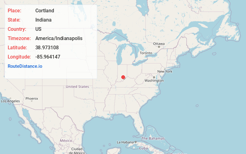
Full AddressCortland, IN 47274
-
Coordinates38.9731084, -85.9641467
-
LocationCortland , Indiana , US
-
TimezoneAmerica/Indianapolis
-
Page Views0
About Cortland
Cortland is an unincorporated community in eastern Hamilton Township, Jackson County, Indiana, United States. It lies along State Road 258, northwest of the city of Seymour. Although Cortland is unincorporated, it has a post office, with the ZIP code of 47228.

Nearby Places
Found 10 places within 50 miles

Rockford
4.0 mi
6.4 km
Rockford, IN 47274
Get directions

Seymour
4.1 mi
6.6 km
Seymour, IN 47274
Get directions
Jonesville
7.2 mi
11.6 km
Jonesville, IN 47247
Get directions

Brownstown
7.7 mi
12.4 km
Brownstown, IN 47220
Get directions
Reddington
8.0 mi
12.9 km
Reddington, IN 47274
Get directions

Freetown
8.9 mi
14.3 km
Freetown, IN 47235
Get directions
Azalia
10.3 mi
16.6 km
Azalia, IN 47232
Get directions
Waynesville
10.5 mi
16.9 km
Waynesville, IN 47201
Get directions

Vallonia
11.3 mi
18.2 km
Vallonia, IN 47281
Get directions
Hayden
12.0 mi
19.3 km
Hayden, IN 47265
Get directions
Location Links
Local Weather
Weather Information
Coming soon!
Location Map
Static map view of Cortland, Indiana
Browse Places by Distance
Places within specific distances from Cortland
Short Distances
Long Distances
Click any distance to see all places within that range from Cortland. Distances shown in miles (1 mile ≈ 1.61 kilometers).