Distance to Coryell County, Texas

Calculating Your Route
Just a moment while we process your request...
Location Information
-
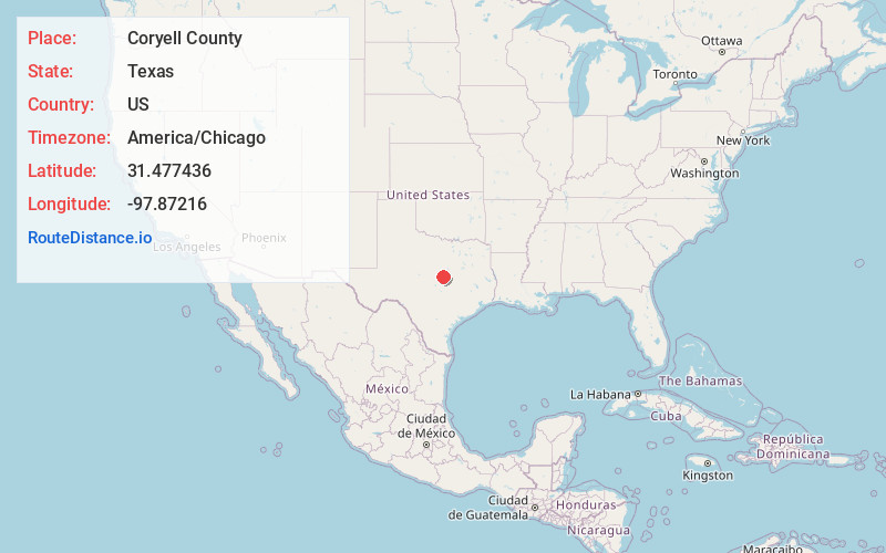
Full AddressCoryell County, TX
-
Coordinates31.4774358, -97.87216
-
LocationTexas , US
-
TimezoneAmerica/Chicago
-
Current Local Time4:22:02 AM America/ChicagoSunday, June 1, 2025
-
Page Views0
About Coryell County
Coryell County is a county located on the Edwards Plateau in the U.S. state of Texas. As of the 2020 census, its population was 83,093. The county seat is Gatesville. The county is named for James Coryell, a frontiersman and Texas Ranger who was killed by Caddo Indians.


Nearby Places
Found 10 places within 50 miles

Gatesville
8.1 mi
13.0 km
Gatesville, TX
Get directions

Jonesboro
9.5 mi
15.3 km
Jonesboro, TX 76538
Get directions

Pancake
10.6 mi
17.1 km
Pancake, TX 76528
Get directions

Pearl
10.7 mi
17.2 km
Pearl, TX 76525
Get directions
South Mountain
12.0 mi
19.3 km
South Mountain, TX 76528
Get directions
Whiteway
12.8 mi
20.6 km
Whiteway, TX 76538
Get directions

Pidcoke
13.7 mi
22.0 km
Pidcoke, TX 76528
Get directions

Mound
16.3 mi
26.2 km
Mound, TX 76528
Get directions

Evant
16.5 mi
26.6 km
Evant, TX 76525
Get directions

Flat
18.4 mi
29.6 km
Flat, TX
Get directions
Location Links
Local Weather
Weather Information
Coming soon!
Location Map
Static map view of Coryell County, Texas
Browse Places by Distance
Places within specific distances from Coryell County
Short Distances
Long Distances
Click any distance to see all places within that range from Coryell County. Distances shown in miles (1 mile ≈ 1.61 kilometers).