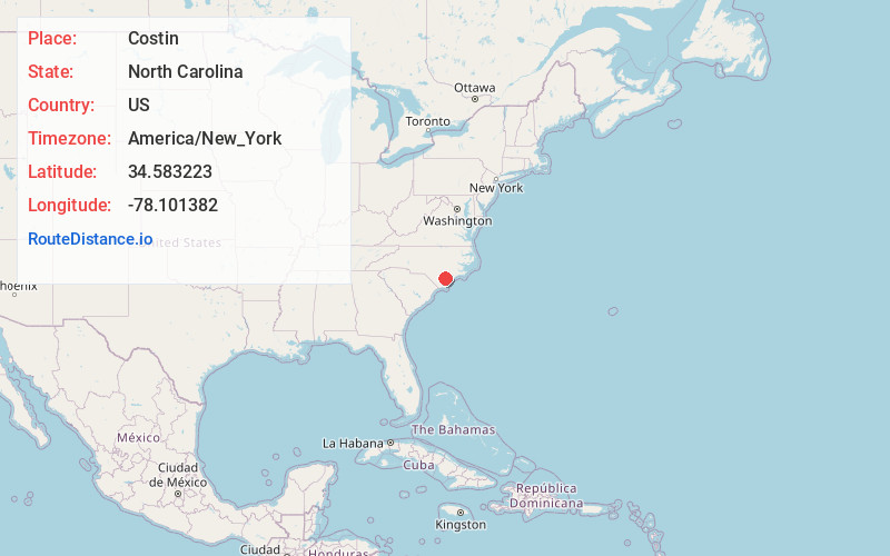
Distance to Costin, North Carolina

Calculating Your Route
Just a moment while we process your request...
Location Information
-
Full AddressCostin, NC 28478
-
Coordinates34.5832233, -78.1013817
-
LocationNorth Carolina , US
-
TimezoneAmerica/New_York
-
Current Local Time2:15:06 PM America/New_YorkWednesday, June 18, 2025
-
Page Views0
Nearby Places
Found 10 places within 50 miles

Reb Kee
5.2 mi
8.4 km
Reb Kee, NC 28447
Get directions
Atkinson
5.5 mi
8.9 km
Atkinson, NC 28421
Get directions
Rhyne Crossroad
5.6 mi
9.0 km
Rhyne Crossroad, NC 28478
Get directions
Penderlea
6.0 mi
9.7 km
Penderlea, NC 28478
Get directions
Yamacraw
6.1 mi
9.8 km
Yamacraw, NC 28421
Get directions
Rooks
6.5 mi
10.5 km
Rooks, NC 28421
Get directions

Ivanhoe
8.0 mi
12.9 km
Ivanhoe, NC 28447
Get directions
Newtons Crossroads
8.0 mi
12.9 km
Newtons Crossroads, NC 28444
Get directions
Ezzelltown
8.1 mi
13.0 km
Ezzelltown, NC 28444
Get directions

Currie
8.3 mi
13.4 km
Currie, NC 28435
Get directions
Location Links
Local Weather
Weather Information
Coming soon!
Location Map
Static map view of Costin, North Carolina
Browse Places by Distance
Places within specific distances from Costin
Short Distances
Long Distances
Click any distance to see all places within that range from Costin. Distances shown in miles (1 mile ≈ 1.61 kilometers).