Distance to Cotter, Iowa

Calculating Your Route
Just a moment while we process your request...
Location Information
-
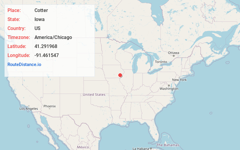
Full AddressCotter, IA 52738
-
Coordinates41.2919675, -91.4615474
-
LocationCotter , Iowa , US
-
TimezoneAmerica/Chicago
-
Current Local Time9:34:05 AM America/ChicagoMonday, June 23, 2025
-
Page Views0
About Cotter
Cotter is a city in western Louisa County, Iowa, United States. The population was 39 at the 2020 census. It is part of the Muscatine Micropolitan Statistical Area.
Nearby Places
Found 10 places within 50 miles

Ainsworth
4.7 mi
7.6 km
Ainsworth, IA 52201
Get directions
Columbus City
5.1 mi
8.2 km
Columbus City, IA 52737
Get directions

Columbus Junction
5.4 mi
8.7 km
Columbus Junction, IA 52738
Get directions
Fredonia
6.4 mi
10.3 km
Fredonia, IA 52738
Get directions

Crawfordsville
6.7 mi
10.8 km
Crawfordsville, IA 52621
Get directions
Conesville
8.5 mi
13.7 km
Conesville, IA 52739
Get directions
Winfield
11.7 mi
18.8 km
Winfield, IA 52659
Get directions

Olds
11.7 mi
18.8 km
Olds, IA
Get directions

Washington
12.0 mi
19.3 km
Washington, IA 52353
Get directions

Letts
12.0 mi
19.3 km
Letts, IA 52754
Get directions
Location Links
Local Weather
Weather Information
Coming soon!
Location Map
Static map view of Cotter, Iowa
Browse Places by Distance
Places within specific distances from Cotter
Short Distances
Long Distances
Click any distance to see all places within that range from Cotter. Distances shown in miles (1 mile ≈ 1.61 kilometers).