Distance to Cottondale, Alabama

Calculating Your Route
Just a moment while we process your request...
Location Information
-
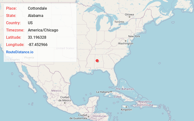
Full AddressCottondale, AL
-
Coordinates33.1963279, -87.4529661
-
LocationCottondale , Alabama , US
-
TimezoneAmerica/Chicago
-
Current Local Time6:13:31 AM America/ChicagoFriday, June 20, 2025
-
Page Views0
About Cottondale
Cottondale is a census-designated place in Tuscaloosa County, Alabama, United States, now encompassed in the eastern suburbs of Tuscaloosa. The ZIP Code is 35453. Alternative spellings include Cotton Dale, Kennedale, Kennidale and Konnidale.


Nearby Places
Found 10 places within 50 miles

Holt
3.2 mi
5.1 km
Holt, AL 35404
Get directions

Tuscaloosa
6.6 mi
10.6 km
Tuscaloosa, AL
Get directions

Northport
7.5 mi
12.1 km
Northport, AL
Get directions

Lake View
19.1 mi
30.7 km
Lake View, AL 35111
Get directions

McCalla
27.0 mi
43.5 km
McCalla, AL
Get directions

Hueytown
31.7 mi
51.0 km
Hueytown, AL
Get directions

Bessemer
32.1 mi
51.7 km
Bessemer, AL
Get directions

Pleasant Grove
34.5 mi
55.5 km
Pleasant Grove, AL
Get directions

Montevallo
34.7 mi
55.8 km
Montevallo, AL 35115
Get directions

Helena
35.9 mi
57.8 km
Helena, AL
Get directions
Location Links
Local Weather
Weather Information
Coming soon!
Location Map
Static map view of Cottondale, Alabama
Browse Places by Distance
Places within specific distances from Cottondale
Short Distances
Long Distances
Click any distance to see all places within that range from Cottondale. Distances shown in miles (1 mile ≈ 1.61 kilometers).