Distance to Council Grove, Kansas

Calculating Your Route
Just a moment while we process your request...
Location Information
-
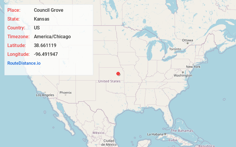
Full AddressCouncil Grove, KS 66846
-
Coordinates38.6611187, -96.4919473
-
LocationCouncil Grove , Kansas , US
-
TimezoneAmerica/Chicago
-
Current Local Time10:17:40 PM America/ChicagoWednesday, June 18, 2025
-
Website
-
Page Views0
About Council Grove
Council Grove is a city in and the county seat of Morris County, Kansas, United States. As of the 2020 census, the population of the city was 2,140. It was named after an agreement between American settlers and the Osage Nation allowing settlers' wagon trains to pass westward through the area on the Santa Fe Trail.


Nearby Places
Found 8 places within 50 miles

Emporia
24.4 mi
39.3 km
Emporia, KS 66801
Get directions

Junction City
31.3 mi
50.4 km
Junction City, KS
Get directions

Osage City
36.0 mi
57.9 km
Osage City, KS 66523
Get directions

Manhattan
36.1 mi
58.1 km
Manhattan, KS
Get directions

Wamego
38.7 mi
62.3 km
Wamego, KS 66547
Get directions

Abilene
42.7 mi
68.7 km
Abilene, KS 67410
Get directions

St Marys
43.2 mi
69.5 km
St Marys, KS 66536
Get directions

Hillsboro
44.1 mi
71.0 km
Hillsboro, KS 67063
Get directions
Location Links
Local Weather
Weather Information
Coming soon!
Location Map
Static map view of Council Grove, Kansas
Browse Places by Distance
Places within specific distances from Council Grove
Short Distances
Long Distances
Click any distance to see all places within that range from Council Grove. Distances shown in miles (1 mile ≈ 1.61 kilometers).