Distance to Coushatta, Louisiana

Calculating Your Route
Just a moment while we process your request...
Location Information
-
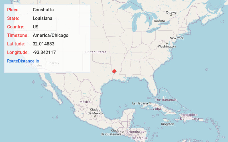
Full AddressCoushatta, LA 71019
-
Coordinates32.0148834, -93.3421165
-
LocationCoushatta , Louisiana , US
-
TimezoneAmerica/Chicago
-
Current Local Time9:04:12 AM America/ChicagoThursday, June 19, 2025
-
Website
-
Page Views0
About Coushatta
Coushatta is a town in, and the parish seat of, rural Red River Parish in north Louisiana, United States. It is situated on the east bank of the Red River. The community is approximately 45 miles south of Shreveport on U.S. Highway 71.


Nearby Places
Found 10 places within 50 miles

Mansfield
21.0 mi
33.8 km
Mansfield, LA 71052
Get directions

Natchitoches
23.1 mi
37.2 km
Natchitoches, LA
Get directions

Many
31.9 mi
51.3 km
Many, LA 71449
Get directions

Stonewall
33.7 mi
54.2 km
Stonewall, LA 71078
Get directions

Haughton
37.0 mi
59.5 km
Haughton, LA 71037
Get directions

Eastwood
39.6 mi
63.7 km
Eastwood, LA
Get directions

Jonesboro
39.8 mi
64.1 km
Jonesboro, LA 71251
Get directions

Red Chute
40.6 mi
65.3 km
Red Chute, LA 71037
Get directions

Bossier City
41.5 mi
66.8 km
Bossier City, LA
Get directions

Minden
41.6 mi
66.9 km
Minden, LA 71055
Get directions
Location Links
Local Weather
Weather Information
Coming soon!
Location Map
Static map view of Coushatta, Louisiana
Browse Places by Distance
Places within specific distances from Coushatta
Short Distances
Long Distances
Click any distance to see all places within that range from Coushatta. Distances shown in miles (1 mile ≈ 1.61 kilometers).