Distance to Covelo, California

Calculating Your Route
Just a moment while we process your request...
Location Information
-
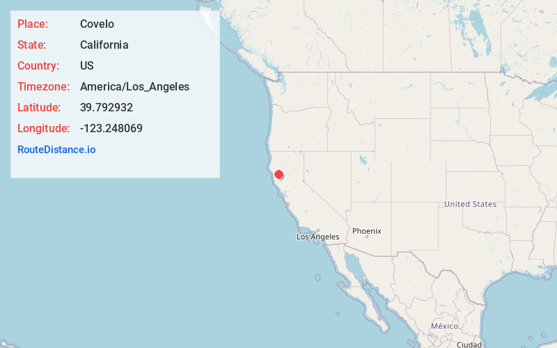
Full AddressCovelo, CA 95428
-
Coordinates39.7929324, -123.2480687
-
LocationCovelo , California , US
-
TimezoneAmerica/Los_Angeles
-
Current Local Time9:35:59 PM America/Los_AngelesFriday, June 13, 2025
-
Page Views0
About Covelo
Covelo is a census-designated place in Mendocino County, California, United States. Covelo is located 14 miles east-northeast of Laytonville, at an elevation of 1,398 feet. The population was 1,394 at the 2020 census, up from 1,255 at the 2010 census. 405 acres of Covelo is part of the Round Valley Indian Reservation.


Nearby Places
Found 6 places within 50 miles

Brooktrails
24.4 mi
39.3 km
Brooktrails, CA 95490
Get directions

Willits
27.1 mi
43.6 km
Willits, CA 95490
Get directions

Pine Mountain Lookout
31.8 mi
51.2 km
Pine Mountain Lookout, California 95469
Get directions

Garberville
35.9 mi
57.8 km
Garberville, CA
Get directions

Redwood Valley
36.5 mi
58.7 km
Redwood Valley, CA 95470
Get directions

Fort Bragg
38.1 mi
61.3 km
Fort Bragg, CA 95437
Get directions
Location Links
Local Weather
Weather Information
Coming soon!
Location Map
Static map view of Covelo, California
Browse Places by Distance
Places within specific distances from Covelo
Short Distances
Long Distances
Click any distance to see all places within that range from Covelo. Distances shown in miles (1 mile ≈ 1.61 kilometers).