Distance to Cozahome, Arkansas

Calculating Your Route
Just a moment while we process your request...
Location Information
-
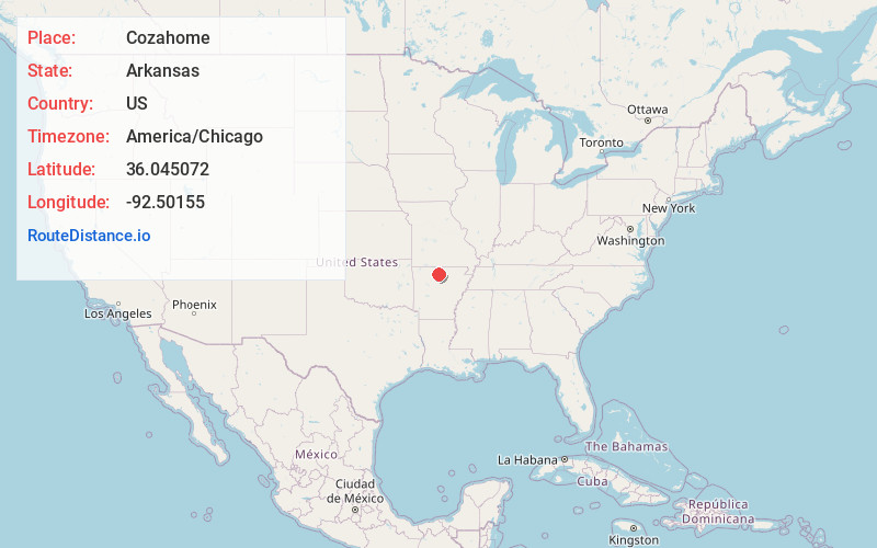
Full AddressCozahome, AR 72639
-
Coordinates36.0450724, -92.5015503
-
LocationCozahome , Arkansas , US
-
TimezoneAmerica/Chicago
-
Current Local Time4:10:53 PM America/ChicagoWednesday, June 18, 2025
-
Page Views0
About Cozahome
Cozahome is an unincorporated community in Searcy County, Arkansas, United States. Cozahome is 12 miles northeast of Marshall.
Nearby Places
Found 10 places within 50 miles

Big Flat
6.1 mi
9.8 km
Big Flat, AR 72617
Get directions

Morning Star
7.2 mi
11.6 km
Morning Star, AR 72650
Get directions

Buffalo City
9.1 mi
14.6 km
Buffalo City, AR 72653
Get directions
Hickory Grove Creek
10.8 mi
17.4 km
Hickory Grove Creek, Arkansas 72663
Get directions

Marshall
11.8 mi
19.0 km
Marshall, AR 72650
Get directions
Cowan
12.1 mi
19.5 km
Cowan, AR 72687
Get directions

Gilbert
12.6 mi
20.3 km
Gilbert, AR
Get directions
Onia
13.1 mi
21.1 km
Onia, AR 72663
Get directions
Elberta
13.5 mi
21.7 km
Elberta, AR 72645
Get directions
Shipp
14.0 mi
22.5 km
Shipp, AR 72658
Get directions
Location Links
Local Weather
Weather Information
Coming soon!
Location Map
Static map view of Cozahome, Arkansas
Browse Places by Distance
Places within specific distances from Cozahome
Short Distances
Long Distances
Click any distance to see all places within that range from Cozahome. Distances shown in miles (1 mile ≈ 1.61 kilometers).