Distance to Cranks, Kentucky

Calculating Your Route
Just a moment while we process your request...
Location Information
-
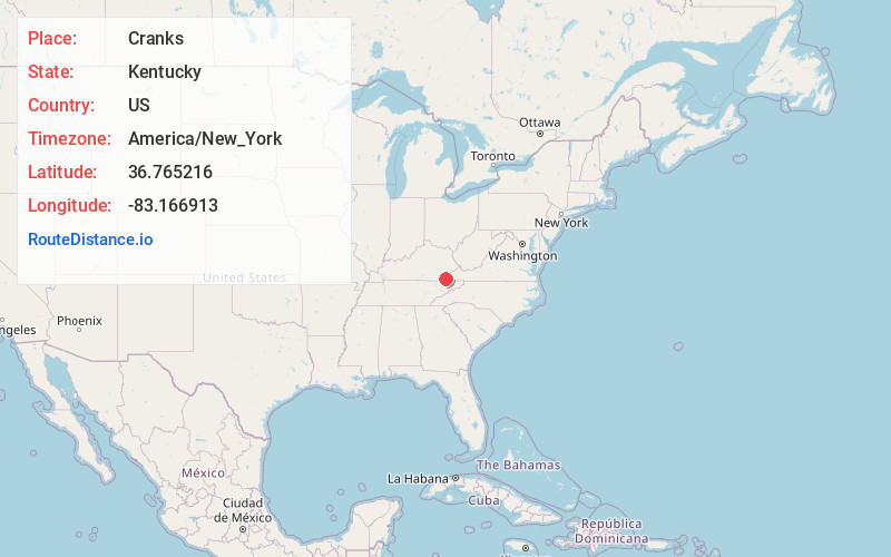
Full AddressCranks, KY 40820
-
Coordinates36.7652158, -83.1669133
-
LocationCranks , Kentucky , US
-
TimezoneAmerica/New_York
-
Current Local Time10:12:56 AM America/New_YorkMonday, June 23, 2025
-
Page Views0
About Cranks
Cranks is an unincorporated community in southeastern Harlan County, Kentucky, United States, near the Virginia state line. Elevation ranges from 1,683 to 2,933 feet above sea level. U.S. Route 421 is the main route of travel through this community.


Nearby Places
Found 10 places within 50 miles

Crummies
2.1 mi
3.4 km
Crummies, KY 40815
Get directions
Ocoonita
2.7 mi
4.3 km
Ocoonita, VA 24263
Get directions
Cawood
3.6 mi
5.8 km
Cawood, KY 40815
Get directions
Bobs Creek
4.8 mi
7.7 km
Bobs Creek, KY 40815
Get directions

Martins Fork Lake
5.7 mi
9.2 km
Martins Fork Lake, Kentucky 40815
Get directions
Jonesville Camp Ground
5.9 mi
9.5 km
Jonesville Camp Ground, VA 24263
Get directions
Ten Spot
6.1 mi
9.8 km
Ten Spot, KY 40828
Get directions

Jonesville
6.1 mi
9.8 km
Jonesville, VA 24263
Get directions
Kenvir
6.1 mi
9.8 km
Kenvir, KY
Get directions
Maness
6.2 mi
10.0 km
Maness, VA 24277
Get directions
Location Links
Local Weather
Weather Information
Coming soon!
Location Map
Static map view of Cranks, Kentucky
Browse Places by Distance
Places within specific distances from Cranks
Short Distances
Long Distances
Click any distance to see all places within that range from Cranks. Distances shown in miles (1 mile ≈ 1.61 kilometers).