Distance to Crapo, Maryland

Calculating Your Route
Just a moment while we process your request...
Location Information
-
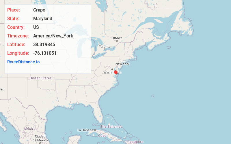
Full AddressCrapo, MD 21626
-
Coordinates38.3198447, -76.1310514
-
LocationCrapo , Maryland , US
-
TimezoneAmerica/New_York
-
Current Local Time1:46:49 AM America/New_YorkFriday, June 20, 2025
-
Page Views0
About Crapo
Crapo is an unincorporated community in Dorchester County, Maryland, United States. Crapo is located along Lakesville-Crapo Road on the east bank of the Honga River in the southern part of the county. It has frequently been noted on lists of unusual place names.
Nearby Places
Found 10 places within 50 miles

Lakesville
2.1 mi
3.4 km
Lakesville, MD 21622
Get directions
Wingate
3.6 mi
5.8 km
Wingate, MD
Get directions
Blackwater
4.6 mi
7.4 km
Blackwater, MD 21622
Get directions
Robbins
4.9 mi
7.9 km
Robbins, MD 21626
Get directions

Fishing Creek
5.0 mi
8.0 km
Fishing Creek, MD
Get directions
Elliott
7.3 mi
11.7 km
Elliott, MD 21869
Get directions
Church Creek
12.6 mi
20.3 km
Church Creek, MD 21622
Get directions

Nanticoke
12.7 mi
20.4 km
Nanticoke, MD 21840
Get directions
Woolford
12.9 mi
20.8 km
Woolford, MD 21677
Get directions
Jesterville
13.0 mi
20.9 km
Jesterville, MD 21814
Get directions
Location Links
Local Weather
Weather Information
Coming soon!
Location Map
Static map view of Crapo, Maryland
Browse Places by Distance
Places within specific distances from Crapo
Short Distances
Long Distances
Click any distance to see all places within that range from Crapo. Distances shown in miles (1 mile ≈ 1.61 kilometers).