Distance to Crawford, Alabama

Calculating Your Route
Just a moment while we process your request...
Location Information
-
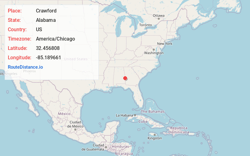
Full AddressCrawford, AL 36870
-
Coordinates32.4568081, -85.1896611
-
LocationCrawford , Alabama , US
-
TimezoneAmerica/Chicago
-
Current Local Time3:55:38 AM America/ChicagoThursday, June 19, 2025
-
Page Views0
About Crawford
Crawford is an unincorporated community in Russell County, Alabama, United States. Crawford is located at the junction of U.S. Route 80 and Alabama State Route 169, 6.5 miles west of Ladonia. It was the second county seat of Russell County from 1839 to 1868 before it removed to Seale.

Nearby Places
Found 10 places within 50 miles

Ladonia
6.5 mi
10.5 km
Ladonia, AL
Get directions

Smiths Station
7.7 mi
12.4 km
Smiths Station, AL
Get directions

Phenix City
11.1 mi
17.9 km
Phenix City, AL
Get directions

Whatley Cross Rd
11.1 mi
17.9 km
Whatley Cross Rd, AL 36804
Get directions

Columbus
11.5 mi
18.5 km
Columbus, GA
Get directions
Rose Hill
12.2 mi
19.6 km
Rose Hill, Columbus, GA 31904
Get directions
Wacoochee Valley
12.3 mi
19.8 km
Wacoochee Valley, AL 36874
Get directions
Halawaka
14.4 mi
23.2 km
Halawaka, AL 36854
Get directions
Piney Grove
14.7 mi
23.7 km
Piney Grove, GA 31808
Get directions
Battle Park
14.9 mi
24.0 km
Battle Park, Columbus, GA 31905
Get directions
Location Links
Local Weather
Weather Information
Coming soon!
Location Map
Static map view of Crawford, Alabama
Browse Places by Distance
Places within specific distances from Crawford
Short Distances
Long Distances
Click any distance to see all places within that range from Crawford. Distances shown in miles (1 mile ≈ 1.61 kilometers).