Distance to Crocus, Kentucky

Calculating Your Route
Just a moment while we process your request...
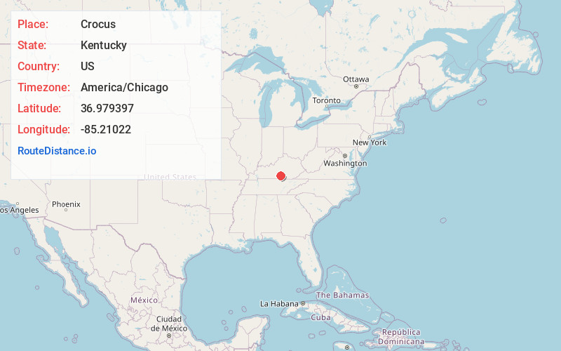
Location Information
-
Full AddressCrocus, KY 42629
-
Coordinates36.979397, -85.21022
-
LocationCrocus , Kentucky , US
-
TimezoneAmerica/Chicago
-
Current Local Time1:34:04 AM America/ChicagoThursday, June 19, 2025
-
Page Views0
About Crocus
Crocus is an unincorporated community in Adair and Russell counties in the U.S. state of Kentucky. Its elevation is 988 feet.
The community, first established in 1840, possibly received its name from the wild crocuses growing along the nearby creek.
Nearby Places
Found 10 places within 50 miles

Olga
3.4 mi
5.5 km
Olga, KY 42629
Get directions
Old Olga
4.4 mi
7.1 km
Old Olga, KY 42629
Get directions
Rose Crossroads
5.0 mi
8.0 km
Rose Crossroads, KY 42629
Get directions
Joppa
5.3 mi
8.5 km
Joppa, KY 42728
Get directions
Esto
5.7 mi
9.2 km
Esto, KY 42642
Get directions
Chance
6.3 mi
10.1 km
Chance, KY 42728
Get directions
Sewellton
6.5 mi
10.5 km
Sewellton, KY 42629
Get directions
Helm
6.6 mi
10.6 km
Helm, KY 42629
Get directions
Ribbon
7.0 mi
11.3 km
Ribbon, KY 42629
Get directions
Gentrys Mill
7.9 mi
12.7 km
Gentrys Mill, KY 42642
Get directions
Location Links
Local Weather
Weather Information
Coming soon!
Location Map
Static map view of Crocus, Kentucky
Browse Places by Distance
Places within specific distances from Crocus
Short Distances
Long Distances
Click any distance to see all places within that range from Crocus. Distances shown in miles (1 mile ≈ 1.61 kilometers).