Distance to Crystal Hill, Virginia

Calculating Your Route
Just a moment while we process your request...
Location Information
-
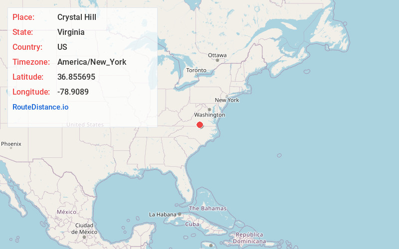
Full AddressCrystal Hill, VA 24539
-
Coordinates36.8556946, -78.9088996
-
LocationCrystal Hill , Virginia , US
-
TimezoneAmerica/New_York
-
Current Local Time12:46:50 PM America/New_YorkFriday, May 30, 2025
-
Page Views0
About Crystal Hill
Crystal Hill is an unincorporated community in Halifax County, Virginia, United States. Crystal Hill is located on State Route 626, 6.3 miles north of Halifax. Crystal Hill has a post office with ZIP code 24539, which opened on March 6, 1879.
Nearby Places
Found 10 places within 50 miles

Clays Mill
3.0 mi
4.8 km
Clays Mill, VA 24558
Get directions
Lennig
3.1 mi
5.0 km
Lennig, VA 24577
Get directions
Youngers Store
3.5 mi
5.6 km
Youngers Store, VA 24558
Get directions
Whitesville
3.6 mi
5.8 km
Whitesville, VA 24577
Get directions
Dudley
3.6 mi
5.8 km
Dudley, VA 24558
Get directions
McKendree
4.8 mi
7.7 km
McKendree, VA 24558
Get directions

Nathalie
5.9 mi
9.5 km
Nathalie, VA 24577
Get directions

Halifax
6.3 mi
10.1 km
Halifax, VA
Get directions
Alchie
6.5 mi
10.5 km
Alchie, VA 24577
Get directions
Mt Laurel
6.8 mi
10.9 km
Mt Laurel, VA 24534
Get directions
Location Links
Local Weather
Weather Information
Coming soon!
Location Map
Static map view of Crystal Hill, Virginia
Browse Places by Distance
Places within specific distances from Crystal Hill
Short Distances
Long Distances
Click any distance to see all places within that range from Crystal Hill. Distances shown in miles (1 mile ≈ 1.61 kilometers).