Distance to Cuchara, Colorado

Calculating Your Route
Just a moment while we process your request...
Location Information
-
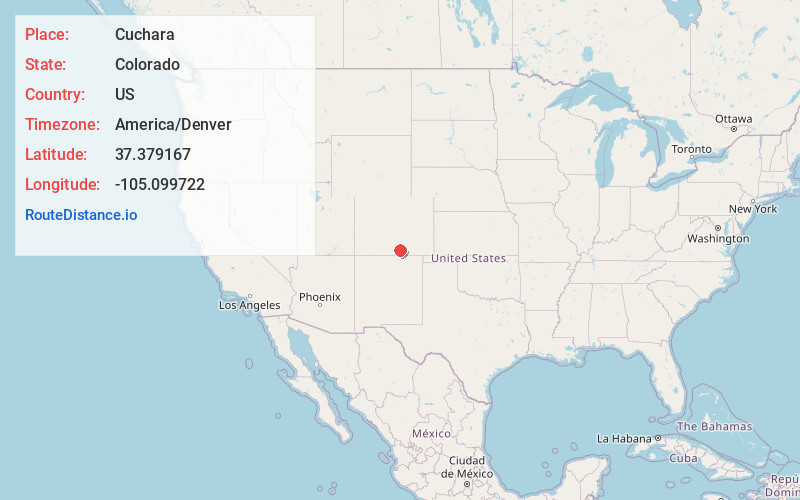
Full AddressCuchara, CO 81055
-
Coordinates37.379167, -105.099722
-
LocationCuchara , Colorado , US
-
TimezoneAmerica/Denver
-
Current Local Time8:26:36 AM America/DenverFriday, May 30, 2025
-
Page Views0
About Cuchara
Cuchara is an unincorporated community in Huerfano County, Colorado, United States. It is located near a former ski resort in the mountains south of the town of La Veta. Its altitude is 8,468 feet. State Highway 12 travels through Cuchara as it approaches Trinidad to the southeast.


Nearby Places
Found 10 places within 50 miles

Fir
8.5 mi
13.7 km
Fir, CO 81133
Get directions

La Veta
10.1 mi
16.3 km
La Veta, CO 81055
Get directions

Monument Park
12.3 mi
19.8 km
Monument Park, CO 81091
Get directions

Stonewall Gap
16.3 mi
26.2 km
Stonewall Gap, CO 81091
Get directions

Fort Garland
18.7 mi
30.1 km
Fort Garland, CO
Get directions

Torres
21.5 mi
34.6 km
Torres, CO 81091
Get directions

San Luis
21.7 mi
34.9 km
San Luis, CO 81152
Get directions

Weston
21.9 mi
35.2 km
Weston, CO 81091
Get directions

San Pedro
22.5 mi
36.2 km
San Pedro, CO 81152
Get directions

Blanca
23.2 mi
37.3 km
Blanca, CO 81123
Get directions
Location Links
Local Weather
Weather Information
Coming soon!
Location Map
Static map view of Cuchara, Colorado
Browse Places by Distance
Places within specific distances from Cuchara
Short Distances
Long Distances
Click any distance to see all places within that range from Cuchara. Distances shown in miles (1 mile ≈ 1.61 kilometers).