Distance to Culberson, North Carolina

Calculating Your Route
Just a moment while we process your request...
Location Information
-
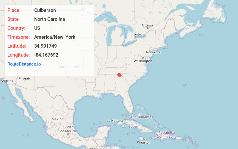
Full AddressCulberson, NC 28906
-
Coordinates34.991749, -84.1676921
-
LocationCulberson , North Carolina , US
-
TimezoneAmerica/New_York
-
Current Local Time1:14:01 AM America/New_YorkWednesday, June 25, 2025
-
Page Views0
About Culberson
Culberson is an unincorporated community in Cherokee County, North Carolina, United States. Culberson is located on North Carolina Highway 60 near the Georgia state line, 10 miles southwest of Murphy. Culberson has a post office with ZIP code 28903.

Nearby Places
Found 10 places within 50 miles

McCullough
3.0 mi
4.8 km
McCullough, GA 30559
Get directions
Lewner
3.0 mi
4.8 km
Lewner, GA 30560
Get directions
Lance Mill
3.3 mi
5.3 km
Lance Mill, GA 30560
Get directions

Letitia
3.8 mi
6.1 km
Letitia, NC 28906
Get directions

Hothouse
4.2 mi
6.8 km
Hothouse, NC 28906
Get directions
Thomas Mill
4.5 mi
7.2 km
Thomas Mill, GA 30512
Get directions
Roundtop Mountain
5.4 mi
8.7 km
Roundtop Mountain, Georgia 30559
Get directions
Cutcane
5.5 mi
8.9 km
Cutcane, GA 30559
Get directions
Maple Grove
5.6 mi
9.0 km
Maple Grove, GA 30560
Get directions
Bellview
5.7 mi
9.2 km
Bellview, NC 28906
Get directions
Location Links
Local Weather
Weather Information
Coming soon!
Location Map
Static map view of Culberson, North Carolina
Browse Places by Distance
Places within specific distances from Culberson
Short Distances
Long Distances
Click any distance to see all places within that range from Culberson. Distances shown in miles (1 mile ≈ 1.61 kilometers).