Distance to Culmore, Virginia

Calculating Your Route
Just a moment while we process your request...
Location Information
-
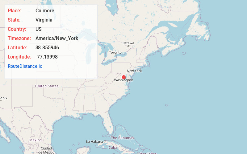
Full AddressCulmore, Bailey's Crossroads, VA 22041
-
Coordinates38.8559456, -77.1399796
-
LocationBailey's Crossroads , Virginia , US
-
TimezoneAmerica/New_York
-
Current Local Time12:51:22 PM America/New_YorkSaturday, May 31, 2025
-
Page Views0
About Culmore
Culmore, Virginia is a small commercial center in Fairfax County, Virginia, United States. It sits between Seven Corners and the Skyline area on State Route 7.


Nearby Places
Found 10 places within 50 miles

Bailey's Crossroads
0.6 mi
1.0 km
Bailey's Crossroads, VA
Get directions

Lee Boulevard Heights
0.8 mi
1.3 km
Lee Boulevard Heights, Seven Corners, VA 22044
Get directions

Seven Corners
1.0 mi
1.6 km
Seven Corners, VA
Get directions

Lake Barcroft
1.0 mi
1.6 km
Lake Barcroft, VA
Get directions
Sleepy Hollow Manor
1.1 mi
1.8 km
Sleepy Hollow Manor, Lake Barcroft, VA 22044
Get directions
Sleepy Hollow Estates
1.4 mi
2.3 km
Sleepy Hollow Estates, Lake Barcroft, VA 22044
Get directions
Sleepy Hollow
1.5 mi
2.4 km
Sleepy Hollow, West Falls Church, VA 22042
Get directions
Marlo Heights
1.6 mi
2.6 km
Marlo Heights, Lake Barcroft, VA 22044
Get directions

Holmes Run Park
1.9 mi
3.1 km
Holmes Run Park, West Falls Church, VA 22042
Get directions
Barcroft Woods
1.9 mi
3.1 km
Barcroft Woods, Lake Barcroft, VA 22041
Get directions
Location Links
Local Weather
Weather Information
Coming soon!
Location Map
Static map view of Culmore, Virginia
Browse Places by Distance
Places within specific distances from Culmore
Short Distances
Long Distances
Click any distance to see all places within that range from Culmore. Distances shown in miles (1 mile ≈ 1.61 kilometers).