Distance to Culver, Oregon

Calculating Your Route
Just a moment while we process your request...
Location Information
-
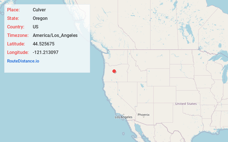
Full AddressCulver, OR 97734
-
Coordinates44.5256753, -121.2130974
-
LocationCulver , Oregon , US
-
TimezoneAmerica/Los_Angeles
-
Current Local Time5:00:57 AM America/Los_AngelesSaturday, June 7, 2025
-
Website
-
Page Views0
About Culver
Culver is a city in Jefferson County, Oregon, United States. The population was 1,357 at the 2010 census.


Nearby Places
Found 7 places within 50 miles

Madras
8.5 mi
13.7 km
Madras, OR 97741
Get directions

Warm Springs
16.6 mi
26.7 km
Warm Springs, OR 97761
Get directions

Redmond
17.6 mi
28.3 km
Redmond, OR 97756
Get directions

Sisters
23.2 mi
37.3 km
Sisters, OR 97759
Get directions

Prineville
24.3 mi
39.1 km
Prineville, OR
Get directions

Bend
32.7 mi
52.6 km
Bend, OR
Get directions

Deschutes River Woods
37.6 mi
60.5 km
Deschutes River Woods, OR 97702
Get directions
Location Links
Local Weather
Weather Information
Coming soon!
Location Map
Static map view of Culver, Oregon
Browse Places by Distance
Places within specific distances from Culver
Short Distances
Long Distances
Click any distance to see all places within that range from Culver. Distances shown in miles (1 mile ≈ 1.61 kilometers).