Distance to Culver, Kansas

Calculating Your Route
Just a moment while we process your request...
Location Information
-
Full AddressCulver, KS 67484
-
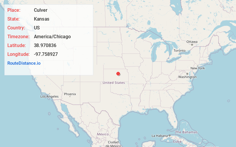
Coordinates38.9708357, -97.7589273
-
LocationCulver , Kansas , US
-
TimezoneAmerica/Chicago
-
Current Local Time2:52:53 PM America/ChicagoFriday, June 6, 2025
-
Page Views0
About Culver
Culver is a city in Ottawa County, Kansas, United States. As of the 2020 census, the population of the city was 114. It is located northwest of Salina at the intersection of 90th Road and Aspen Road, next to an abandoned railroad.
Nearby Places
Found 10 places within 50 miles

Tescott
6.8 mi
10.9 km
Tescott, KS 67484
Get directions
Bennington
9.8 mi
15.8 km
Bennington, KS 67422
Get directions

Minneapolis
10.8 mi
17.4 km
Minneapolis, KS 67467
Get directions

Beverly
12.0 mi
19.3 km
Beverly, KS 67423
Get directions

Salina
12.0 mi
19.3 km
Salina, KS
Get directions

Brookville
14.8 mi
23.8 km
Brookville, KS 67425
Get directions

New Cambria
15.0 mi
24.1 km
New Cambria, KS 67470
Get directions
Niles
15.9 mi
25.6 km
Niles, KS 67480
Get directions
Smolan
16.5 mi
26.6 km
Smolan, KS 67456
Get directions

Mentor
18.0 mi
29.0 km
Mentor, KS
Get directions
Location Links
Local Weather
Weather Information
Coming soon!
Location Map
Static map view of Culver, Kansas
Browse Places by Distance
Places within specific distances from Culver
Short Distances
Long Distances
Click any distance to see all places within that range from Culver. Distances shown in miles (1 mile ≈ 1.61 kilometers).