Distance to Cummings Township, Pennsylvania

Calculating Your Route
Just a moment while we process your request...
Location Information
-
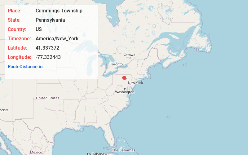
Full AddressCummings Township, PA
-
Coordinates41.3373719, -77.3324425
-
LocationCummings Township , Pennsylvania , US
-
TimezoneAmerica/New_York
-
Current Local Time12:30:39 PM America/New_YorkWednesday, July 2, 2025
-
Page Views0
About Cummings Township
Cummings Township is a township in Lycoming County, Pennsylvania, United States. The population was 264 at the 2020 census, down from 273 in 2010. It is part of the Williamsport, Pennsylvania Metropolitan Statistical Area. Cummings Township is home to Little Pine State Park and Upper Pine Bottom State Park.


Nearby Places
Found 10 places within 50 miles

Waterville
2.4 mi
3.9 km
Waterville, PA 17776
Get directions

Ramsey
3.7 mi
6.0 km
Ramsey, PA 17740
Get directions
Jersey Mills
4.1 mi
6.6 km
Jersey Mills, PA 17776
Get directions

Pine Creek Gorge
4.6 mi
7.4 km
Pine Creek Gorge, Watson Township, PA 17740
Get directions

Carsontown
4.9 mi
7.9 km
Carsontown, PA 17776
Get directions
Tomb
6.2 mi
10.0 km
Tomb, PA 17740
Get directions

Salladasburg
6.9 mi
11.1 km
Salladasburg, PA 17740
Get directions

English Center
7.4 mi
11.9 km
English Center, Pine Township, PA 17776
Get directions

Haneyville
7.4 mi
11.9 km
Haneyville, PA 17745
Get directions
Gallagher
7.7 mi
12.4 km
Gallagher, PA 17745
Get directions
Location Links
Local Weather
Weather Information
Coming soon!
Location Map
Static map view of Cummings Township, Pennsylvania
Browse Places by Distance
Places within specific distances from Cummings Township
Short Distances
Long Distances
Click any distance to see all places within that range from Cummings Township. Distances shown in miles (1 mile ≈ 1.61 kilometers).