Distance to Cunningham, Tennessee

Calculating Your Route
Just a moment while we process your request...
Location Information
-
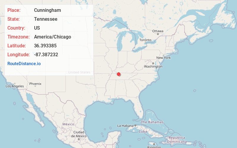
Full AddressCunningham, TN 37052
-
Coordinates36.3933851, -87.3872317
-
LocationCunningham , Tennessee , US
-
TimezoneAmerica/Chicago
-
Current Local Time10:21:45 PM America/ChicagoThursday, June 19, 2025
-
Page Views0
About Cunningham
Cunningham is an unincorporated community in Montgomery County, Tennessee, United States. It is located approximately 9.5 miles south of downtown Clarksville, at the intersection of State Route 13 and State Route 48. Cunningham has a post office, with ZIP code 37052.


Nearby Places
Found 10 places within 50 miles

Louise
1.7 mi
2.7 km
Louise, TN 37051
Get directions
Orgains Crossroads
3.3 mi
5.3 km
Orgains Crossroads, TN 37052
Get directions
Hilltop
5.2 mi
8.4 km
Hilltop, TN 37040
Get directions
Palmyra
6.2 mi
10.0 km
Palmyra, TN
Get directions
Woods Valley
6.4 mi
10.3 km
Woods Valley, TN 37051
Get directions
Glenwylde
7.2 mi
11.6 km
Glenwylde, TN 37051
Get directions
Slayden
8.2 mi
13.2 km
Slayden, TN
Get directions

Clarksville
9.5 mi
15.3 km
Clarksville, TN
Get directions
Liners
10.3 mi
16.6 km
Liners, TN 37050
Get directions
Vanleer
11.4 mi
18.3 km
Vanleer, TN 37181
Get directions
Location Links
Local Weather
Weather Information
Coming soon!
Location Map
Static map view of Cunningham, Tennessee
Browse Places by Distance
Places within specific distances from Cunningham
Short Distances
Long Distances
Click any distance to see all places within that range from Cunningham. Distances shown in miles (1 mile ≈ 1.61 kilometers).