Distance to Cunningham, Washington

Calculating Your Route
Just a moment while we process your request...
Location Information
-
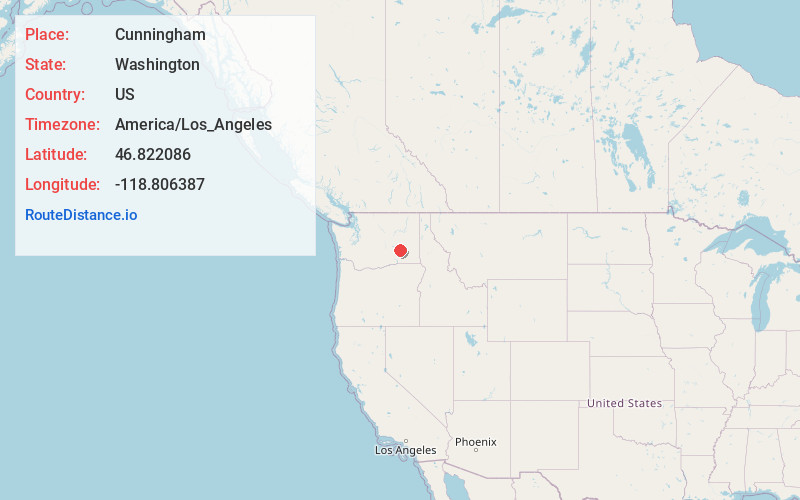
Full AddressCunningham, WA 99341
-
Coordinates46.8220859, -118.8063872
-
LocationCunningham , Washington , US
-
TimezoneAmerica/Los_Angeles
-
Current Local Time11:43:19 PM America/Los_AngelesTuesday, July 1, 2025
-
Page Views0
About Cunningham
Cunningham is an unincorporated community in Adams County, Washington, United States. It was platted in 1901 by preacher and land promoter W. R. Cunningham.
Cunningham is on the Hatton U.S. Geological Survey Map.


Nearby Places
Found 10 places within 50 miles

Hatton
3.3 mi
5.3 km
Hatton, WA 99344
Get directions

Connell
11.3 mi
18.2 km
Connell, WA 99326
Get directions

Lind
13.7 mi
22.0 km
Lind, WA 99341
Get directions

Estes
14.9 mi
24.0 km
Estes, WA 99301
Get directions

Warden
14.9 mi
24.0 km
Warden, WA 98857
Get directions

Kahlotus
17.1 mi
27.5 km
Kahlotus, WA
Get directions

Othello
17.4 mi
28.0 km
Othello, WA 99344
Get directions

Pizarro
19.2 mi
30.9 km
Pizarro, WA 99169
Get directions

Mesa
19.5 mi
31.4 km
Mesa, WA 99343
Get directions
Sperry
20.6 mi
33.2 km
Sperry, WA 99371
Get directions
Location Links
Local Weather
Weather Information
Coming soon!
Location Map
Static map view of Cunningham, Washington
Browse Places by Distance
Places within specific distances from Cunningham
Short Distances
Long Distances
Click any distance to see all places within that range from Cunningham. Distances shown in miles (1 mile ≈ 1.61 kilometers).