Distance to Curry, Alabama

Calculating Your Route
Just a moment while we process your request...
Location Information
-
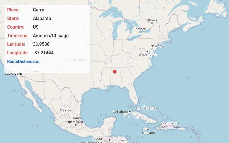
Full AddressCurry, AL 35503
-
Coordinates33.95361, -87.21444
-
LocationCurry , Alabama , US
-
TimezoneAmerica/Chicago
-
Current Local Time2:43:05 PM America/ChicagoMonday, June 23, 2025
-
Page Views0
About Curry
Curry is an unincorporated community in north-central Walker County Alabama, United States. It is the closest community to the Lewis Smith Lake dam. Curry is served by Alabama State Route 257, which is simply known as Curry Highway by locals.

Nearby Places
Found 10 places within 50 miles

Sunlight
1.9 mi
3.1 km
Sunlight, AL 35504
Get directions
Marylee
2.2 mi
3.5 km
Marylee, AL 35504
Get directions
Burrows Crossroads
4.2 mi
6.8 km
Burrows Crossroads, AL 35504
Get directions
South Lowell
4.4 mi
7.1 km
South Lowell, AL 35503
Get directions
Marigold
5.9 mi
9.5 km
Marigold, AL 35503
Get directions
Manchester
6.0 mi
9.7 km
Manchester, AL 35503
Get directions
Falls City
6.3 mi
10.1 km
Falls City, AL 35553
Get directions
Wilson Bend
6.5 mi
10.5 km
Wilson Bend, AL 35541
Get directions
Ardell
7.2 mi
11.6 km
Ardell, AL 35053
Get directions
Powellville
7.3 mi
11.7 km
Powellville, AL 35504
Get directions
Location Links
Local Weather
Weather Information
Coming soon!
Location Map
Static map view of Curry, Alabama
Browse Places by Distance
Places within specific distances from Curry
Short Distances
Long Distances
Click any distance to see all places within that range from Curry. Distances shown in miles (1 mile ≈ 1.61 kilometers).