Distance to Curry Run, Pennsylvania

Calculating Your Route
Just a moment while we process your request...
Location Information
-
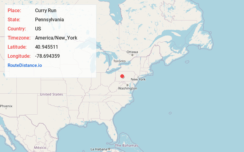
Full AddressCurry Run, Pennsylvania
-
Coordinates40.945511, -78.6943593
-
LocationPennsylvania , US
-
TimezoneAmerica/New_York
-
Current Local Time9:15:26 PM America/New_YorkSunday, June 22, 2025
-
Page Views0
Nearby Places
Found 10 places within 50 miles

Walltown
3.0 mi
4.8 km
Walltown, Penn Township, PA 16838
Get directions
Bells Landing
3.1 mi
5.0 km
Bells Landing, Greenwood Township, PA 15757
Get directions
Bower
3.6 mi
5.8 km
Bower, Greenwood Township, PA 15757
Get directions

Grampian
4.5 mi
7.2 km
Grampian, PA 16838
Get directions
Mahaffey
5.3 mi
8.5 km
Mahaffey, PA 15757
Get directions
Stronach
5.7 mi
9.2 km
Stronach, Penn Township, PA 16833
Get directions

Bloom Township
5.9 mi
9.5 km
Bloom Township, PA
Get directions

Bilger Rocks
6.2 mi
10.0 km
Bilger Rocks, Bloom Township, PA 16838
Get directions
Lumber City
6.4 mi
10.3 km
Lumber City, PA 16833
Get directions
Marron
7.0 mi
11.3 km
Marron, Ferguson Township, PA 16833
Get directions
Location Links
Local Weather
Weather Information
Coming soon!
Location Map
Static map view of Curry Run, Pennsylvania
Browse Places by Distance
Places within specific distances from Curry Run
Short Distances
Long Distances
Click any distance to see all places within that range from Curry Run. Distances shown in miles (1 mile ≈ 1.61 kilometers).