Distance to Curtin, West Virginia

Calculating Your Route
Just a moment while we process your request...
Location Information
-
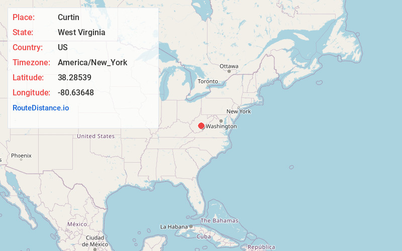
Full AddressCurtin, WV 26261
-
Coordinates38.2853896, -80.6364796
-
LocationCurtin , West Virginia , US
-
TimezoneAmerica/New_York
-
Current Local Time5:12:59 PM America/New_YorkSaturday, May 24, 2025
-
Page Views0
About Curtin
Curtin is a nearly abandoned unincorporated community in eastern Nicholas County, West Virginia, United States. The area is situated at the bottomland surrounding the mouth of the Cherry River at its confluence with the Gauley River. Curtin is also the location where state routes 20 and 55 cross the Gauley.
Nearby Places
Found 10 places within 50 miles

Craigsville
3.3 mi
5.3 km
Craigsville, WV 26205
Get directions

Fenwick
4.9 mi
7.9 km
Fenwick, WV
Get directions
Coe
5.3 mi
8.5 km
Coe, WV 26208
Get directions
Nettie
5.3 mi
8.5 km
Nettie, WV 26681
Get directions

Richwood
7.0 mi
11.3 km
Richwood, WV 26261
Get directions
Tioga
9.4 mi
15.1 km
Tioga, WV
Get directions

Cowen
9.6 mi
15.4 km
Cowen, WV 26206
Get directions
Donaldson
9.8 mi
15.8 km
Donaldson, WV 26206
Get directions

Summersville
11.7 mi
18.8 km
Summersville, WV 26651
Get directions
Birch River
16.1 mi
25.9 km
Birch River, WV 26610
Get directions
Location Links
Local Weather
Weather Information
Coming soon!
Location Map
Static map view of Curtin, West Virginia
Browse Places by Distance
Places within specific distances from Curtin
Short Distances
Long Distances
Click any distance to see all places within that range from Curtin. Distances shown in miles (1 mile ≈ 1.61 kilometers).