Distance to Cushing, Minnesota

Calculating Your Route
Just a moment while we process your request...
Location Information
-
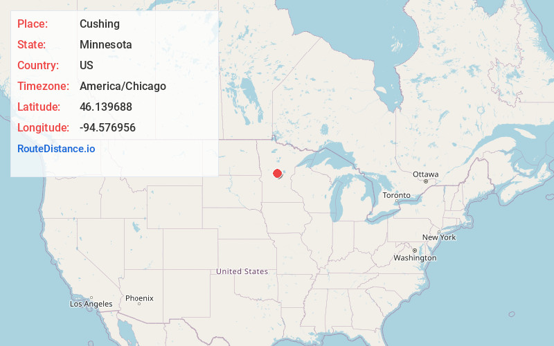
Full AddressCushing, MN 56443
-
Coordinates46.1396879, -94.5769564
-
LocationCushing , Minnesota , US
-
TimezoneAmerica/Chicago
-
Current Local Time5:44:24 PM America/ChicagoFriday, June 20, 2025
-
Page Views0
About Cushing
Cushing is an unincorporated community in Cushing Township, Morrison County, Minnesota, United States. The community is along U.S. Highway 10 near Morrison County Road 5, Bear Road. Nearby places include Randall, Little Falls, and Motley.
The community is home to a post office, a park, a bar, and a church.
Nearby Places
Found 10 places within 50 miles

Randall
5.1 mi
8.2 km
Randall, MN 56475
Get directions
Lincoln
5.8 mi
9.3 km
Lincoln, MN 56443
Get directions
Fort Ripley
10.5 mi
16.9 km
Fort Ripley, MN 56449
Get directions

Flensburg
12.9 mi
20.8 km
Flensburg, MN
Get directions

Pillager
13.9 mi
22.4 km
Pillager, MN 56473
Get directions

Motley
14.0 mi
22.5 km
Motley, MN 56466
Get directions
Browerville
14.3 mi
23.0 km
Browerville, MN 56438
Get directions

Little Falls
14.8 mi
23.8 km
Little Falls, MN 56345
Get directions
Sobieski
15.9 mi
25.6 km
Sobieski, MN 56345
Get directions
Swanville
16.2 mi
26.1 km
Swanville, MN 56382
Get directions
Location Links
Local Weather
Weather Information
Coming soon!
Location Map
Static map view of Cushing, Minnesota
Browse Places by Distance
Places within specific distances from Cushing
Short Distances
Long Distances
Click any distance to see all places within that range from Cushing. Distances shown in miles (1 mile ≈ 1.61 kilometers).