Distance to Custer, Kentucky

Calculating Your Route
Just a moment while we process your request...
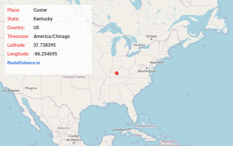
Location Information
-
Full AddressCuster, KY 40146
-
Coordinates37.7383954, -86.2546948
-
LocationCuster , Kentucky , US
-
TimezoneAmerica/Chicago
-
Current Local Time3:39:34 AM America/ChicagoMonday, June 2, 2025
-
Page Views0
About Custer
Custer is an unincorporated community within Breckinridge County, Kentucky, United States.
A post office was established for the community in 1876.

Nearby Places
Found 10 places within 50 miles

Dyer
2.9 mi
4.7 km
Dyer, KY 40115
Get directions
Graysville
3.3 mi
5.3 km
Graysville, KY 40146
Get directions
High Plains
3.4 mi
5.5 km
High Plains, KY 40175
Get directions
Woodrow
3.6 mi
5.8 km
Woodrow, KY 40144
Get directions
Corners
4.1 mi
6.6 km
Corners, KY 40175
Get directions
Rosetta
4.2 mi
6.8 km
Rosetta, KY 40146
Get directions
Stinnettsville
4.2 mi
6.8 km
Stinnettsville, KY 40146
Get directions
Buras
4.2 mi
6.8 km
Buras, KY 40144
Get directions
Constantine
4.5 mi
7.2 km
Constantine, KY 40115
Get directions
Locust Hill
5.6 mi
9.0 km
Locust Hill, KY 40144
Get directions
Location Links
Local Weather
Weather Information
Coming soon!
Location Map
Static map view of Custer, Kentucky
Browse Places by Distance
Places within specific distances from Custer
Short Distances
Long Distances
Click any distance to see all places within that range from Custer. Distances shown in miles (1 mile ≈ 1.61 kilometers).