Distance to Custer State Park, South Dakota

Calculating Your Route
Just a moment while we process your request...
Location Information
-
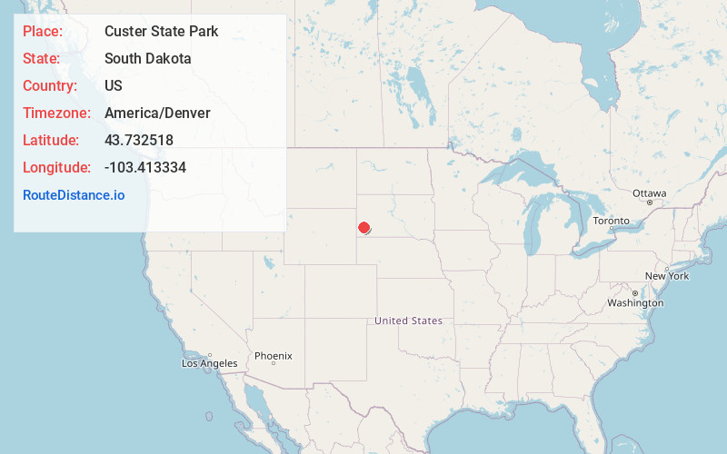
Full AddressCuster State Park, South Dakota
-
Coordinates43.7325177, -103.4133335
-
LocationSouth Dakota , US
-
TimezoneAmerica/Denver
-
Current Local Time8:54:32 PM America/DenverWednesday, June 11, 2025
-
Page Views0
About Custer State Park
Huge nature preserve featuring scenic views, trails & resorts among the flora & fauna.


Nearby Places
Found 10 places within 50 miles

State Game Lodge
3.0 mi
4.8 km
State Game Lodge, SD 57730
Get directions

Spokane
7.7 mi
12.4 km
Spokane, East Custer, SD 57744
Get directions

Custer
9.6 mi
15.4 km
Custer, SD 57730
Get directions
Sanator
9.9 mi
15.9 km
Sanator, SD 57730
Get directions
Nihart
10.3 mi
16.6 km
Nihart, West Custer, SD 57730
Get directions

Mount Rushmore National Memorial
10.4 mi
16.7 km
Mount Rushmore National Memorial, Keystone, SD 57751
Get directions

Fairburn
10.6 mi
17.1 km
Fairburn, SD 57738
Get directions
Harney
11.1 mi
17.9 km
Harney, Mt Rushmore, SD 57751
Get directions

Keystone
11.3 mi
18.2 km
Keystone, SD 57751
Get directions

Pringle
12.4 mi
20.0 km
Pringle, SD
Get directions
Location Links
Local Weather
Weather Information
Coming soon!
Location Map
Static map view of Custer State Park, South Dakota
Browse Places by Distance
Places within specific distances from Custer State Park
Short Distances
Long Distances
Click any distance to see all places within that range from Custer State Park. Distances shown in miles (1 mile ≈ 1.61 kilometers).