Distance to Cut, Texas

Calculating Your Route
Just a moment while we process your request...
Location Information
-
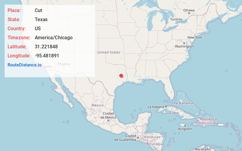
Full AddressCut, TX 75835
-
Coordinates31.221848, -95.481891
-
LocationCut , Texas , US
-
TimezoneAmerica/Chicago
-
Current Local Time2:42:29 PM America/ChicagoFriday, June 20, 2025
-
Page Views0
About Cut
Cut is an unincorporated community in Houston County, Texas, United States. Cut is located on Texas State Highway 19, 6 miles south of Crockett. The town was founded around a watering rest stop along the Houston and Great Northern Railroad, and was originally called Paso or Paso Switch, and was renamed in 1900.
Nearby Places
Found 10 places within 50 miles

Crockett
6.8 mi
10.9 km
Crockett, TX 75835
Get directions

Lovelady
6.9 mi
11.1 km
Lovelady, TX 75851
Get directions

Porter Springs
8.2 mi
13.2 km
Porter Springs, TX 75835
Get directions
Latexo
11.9 mi
19.2 km
Latexo, TX
Get directions
Reynard
16.5 mi
26.6 km
Reynard, TX 75844
Get directions

Grapeland
18.8 mi
30.3 km
Grapeland, TX 75844
Get directions

Kennard
20.0 mi
32.2 km
Kennard, TX 75847
Get directions

Trinity
20.1 mi
32.3 km
Trinity, TX 75862
Get directions

Midway
20.9 mi
33.6 km
Midway, TX 75852
Get directions

Groveton
24.0 mi
38.6 km
Groveton, TX 75845
Get directions
Location Links
Local Weather
Weather Information
Coming soon!
Location Map
Static map view of Cut, Texas
Browse Places by Distance
Places within specific distances from Cut
Short Distances
Long Distances
Click any distance to see all places within that range from Cut. Distances shown in miles (1 mile ≈ 1.61 kilometers).