Distance to Cutshalltown, North Carolina

Calculating Your Route
Just a moment while we process your request...
Location Information
-
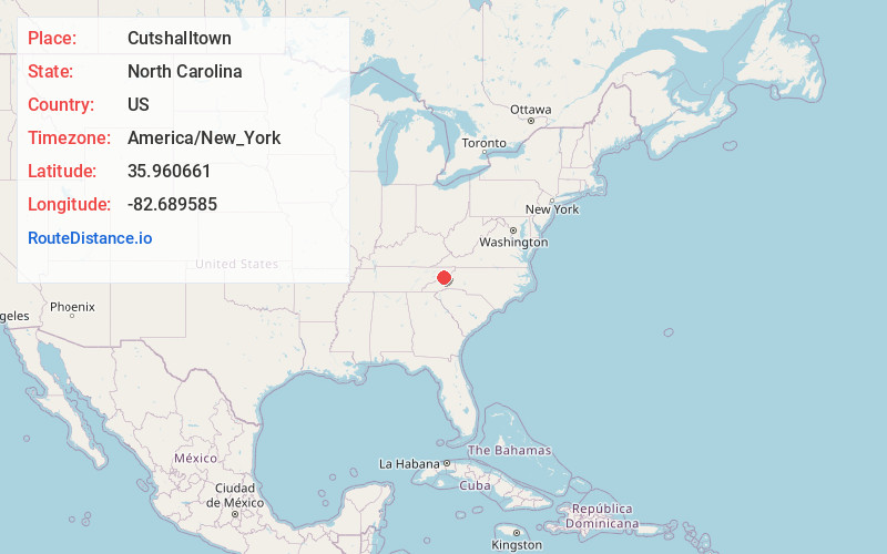
Full AddressCutshalltown, NC 28753
-
Coordinates35.9606609, -82.6895849
-
LocationNorth Carolina , US
-
TimezoneAmerica/New_York
-
Current Local Time1:51:18 AM America/New_YorkWednesday, June 18, 2025
-
Page Views0
Nearby Places
Found 10 places within 50 miles

Spillcorn
2.2 mi
3.5 km
Spillcorn, NC 28753
Get directions
Allegheny
2.3 mi
3.7 km
Allegheny, NC 28753
Get directions
Guntertown
2.5 mi
4.0 km
Guntertown, NC 28753
Get directions
Belva
3.5 mi
5.6 km
Belva, NC 28753
Get directions
Allenstand
3.6 mi
5.8 km
Allenstand, NC 28753
Get directions
Revere
4.1 mi
6.6 km
Revere, NC 28753
Get directions
Carmen
4.1 mi
6.6 km
Carmen, NC 28753
Get directions
Andy Cove
4.7 mi
7.6 km
Andy Cove, NC 28753
Get directions
Hurricane
5.0 mi
8.0 km
Hurricane, NC 28743
Get directions
Jarrett Cove
5.0 mi
8.0 km
Jarrett Cove, NC 28753
Get directions
Location Links
Local Weather
Weather Information
Coming soon!
Location Map
Static map view of Cutshalltown, North Carolina
Browse Places by Distance
Places within specific distances from Cutshalltown
Short Distances
Long Distances
Click any distance to see all places within that range from Cutshalltown. Distances shown in miles (1 mile ≈ 1.61 kilometers).