Distance to Cypress Inn, Tennessee

Calculating Your Route
Just a moment while we process your request...
Location Information
-
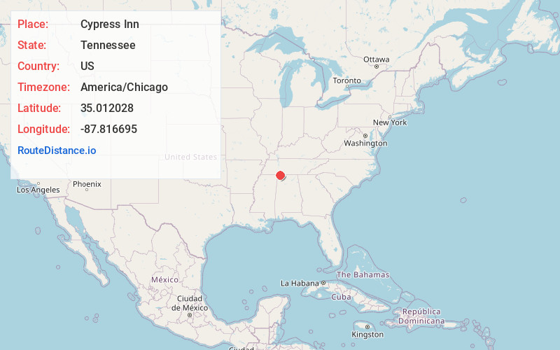
Full AddressCypress Inn, TN 38452
-
Coordinates35.0120284, -87.8166954
-
LocationCypress Inn , Tennessee , US
-
TimezoneAmerica/Chicago
-
Current Local Time4:06:06 PM America/ChicagoTuesday, June 24, 2025
-
Page Views0
About Cypress Inn
Cypress Inn is an unincorporated community in Wayne County, Tennessee, United States. It is located near the Alabama state line and is along the Natchez Trace Parkway.
Nearby Places
Found 10 places within 50 miles

Threet
4.3 mi
6.9 km
Threet, AL 35633
Get directions
Murphy Cross Roads
5.1 mi
8.2 km
Murphy Cross Roads, AL 35677
Get directions
Johnson Crossroads
5.1 mi
8.2 km
Johnson Crossroads, AL 35633
Get directions

Cloverdale
5.7 mi
9.2 km
Cloverdale, AL 35633
Get directions
Sullivan Crossroads
7.8 mi
12.6 km
Sullivan Crossroads, AL 35633
Get directions

Central Heights
8.2 mi
13.2 km
Central Heights, AL 35633
Get directions
Ransom Stand
8.3 mi
13.4 km
Ransom Stand, TN 38471
Get directions

Zip City
9.3 mi
15.0 km
Zip City, AL 35634
Get directions

Sharps Mill Pond
9.6 mi
15.4 km
Sharps Mill Pond, Alabama 35633
Get directions
McGlamery Stand
10.2 mi
16.4 km
McGlamery Stand, Collinwood, TN 38450
Get directions
Location Links
Local Weather
Weather Information
Coming soon!
Location Map
Static map view of Cypress Inn, Tennessee
Browse Places by Distance
Places within specific distances from Cypress Inn
Short Distances
Long Distances
Click any distance to see all places within that range from Cypress Inn. Distances shown in miles (1 mile ≈ 1.61 kilometers).