Distance to Dahl, Alaska

Calculating Your Route
Just a moment while we process your request...
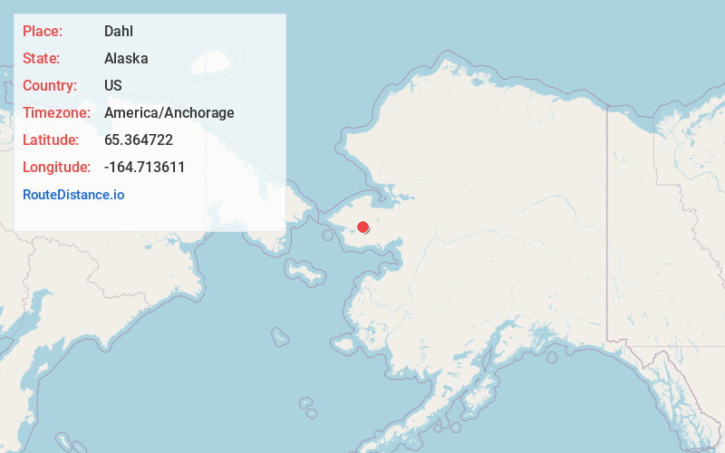
Location Information
-
Full AddressDahl, AK
-
Coordinates65.3647222, -164.7136112
-
LocationAlaska , US
-
TimezoneAmerica/Anchorage
-
Current Local Time1:02:20 AM America/AnchorageSunday, June 8, 2025
-
Page Views0
Nearby Places
Found 7 places within 50 miles

Davidsons Landing
18.2 mi
29.3 km
Davidsons Landing, AK
Get directions
Pilgrim Springs
19.7 mi
31.7 km
Pilgrim Springs, AK
Get directions
New Igloo
21.0 mi
33.8 km
New Igloo, AK 99766
Get directions
Taylor
25.3 mi
40.7 km
Taylor, AK
Get directions

Council
44.3 mi
71.3 km
Council, AK
Get directions
Sullivan Camp
47.7 mi
76.8 km
Sullivan Camp, AK
Get directions

Teller
48.1 mi
77.4 km
Teller, AK 99778
Get directions
Location Links
Local Weather
Weather Information
Coming soon!
Location Map
Static map view of Dahl, Alaska
Browse Places by Distance
Places within specific distances from Dahl
Short Distances
Long Distances
Click any distance to see all places within that range from Dahl. Distances shown in miles (1 mile ≈ 1.61 kilometers).