Distance to Dahlgren, Virginia

Calculating Your Route
Just a moment while we process your request...
Location Information
-
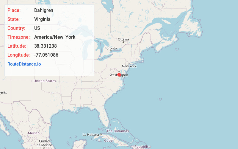
Full AddressDahlgren, VA 22485
-
Coordinates38.3312379, -77.0510857
-
LocationDahlgren , Virginia , US
-
TimezoneAmerica/New_York
-
Current Local Time5:26:52 AM America/New_YorkWednesday, June 18, 2025
-
Page Views0
About Dahlgren
Dahlgren is an unincorporated community and census-designated place in King George County, Virginia, United States. The population was 2,946 at the time of the 2020 census, up from 2,653 at the 2010 census, and up from 997 in 2000.


Nearby Places
Found 10 places within 50 miles

Colonial Beach
7.1 mi
11.4 km
Colonial Beach, VA 22443
Get directions

King George
8.3 mi
13.4 km
King George, VA 22485
Get directions

La Plata
14.3 mi
23.0 km
La Plata, MD 20646
Get directions

Bennsville
19.3 mi
31.1 km
Bennsville, MD
Get directions

Indian Head
19.5 mi
31.4 km
Indian Head, MD 20640
Get directions

Cherry Hill
20.2 mi
32.5 km
Cherry Hill, VA 22026
Get directions

Stafford
20.3 mi
32.7 km
Stafford, VA 22554
Get directions

Aquia Harbour
20.4 mi
32.8 km
Aquia Harbour, VA 22554
Get directions

Bryans Road
20.5 mi
33.0 km
Bryans Road, MD
Get directions

Triangle
21.5 mi
34.6 km
Triangle, VA
Get directions
Location Links
Local Weather
Weather Information
Coming soon!
Location Map
Static map view of Dahlgren, Virginia
Browse Places by Distance
Places within specific distances from Dahlgren
Short Distances
Long Distances
Click any distance to see all places within that range from Dahlgren. Distances shown in miles (1 mile ≈ 1.61 kilometers).