Distance to Dakota, Minnesota

Calculating Your Route
Just a moment while we process your request...
Location Information
-
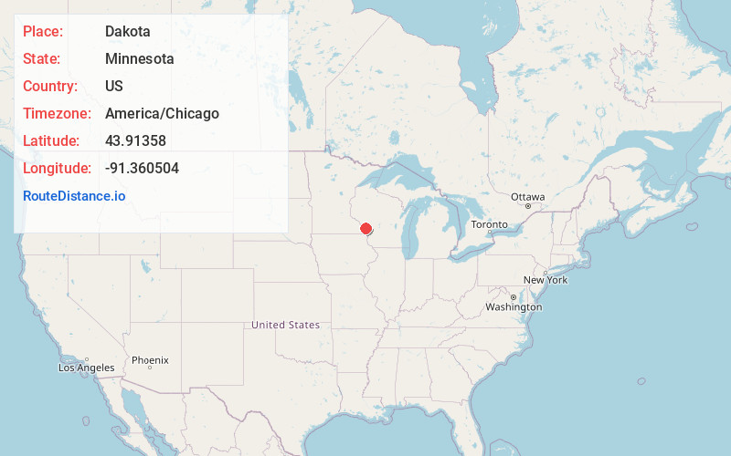
Full AddressDakota, MN
-
Coordinates43.9135799, -91.3605035
-
LocationDakota , Minnesota , US
-
TimezoneAmerica/Chicago
-
Current Local Time10:42:53 AM America/ChicagoSaturday, May 31, 2025
-
Page Views0
About Dakota
Dakota is a city in Winona County, Minnesota, United States. The population was 295 at the 2020 census.
It is located between Winona and La Crosse along Interstate 90. U.S. Highways 61 and 14 are briefly co-signed with Interstate 90 at this point.

Nearby Places
Found 10 places within 50 miles

Brice Prairie
3.5 mi
5.6 km
Brice Prairie, WI 54650
Get directions

Holmen
6.2 mi
10.0 km
Holmen, WI
Get directions

French Island
6.3 mi
10.1 km
French Island, WI 54603
Get directions

Onalaska
6.6 mi
10.6 km
Onalaska, WI
Get directions

La Crescent
6.7 mi
10.8 km
La Crescent, MN
Get directions

Trempealeau
7.5 mi
12.1 km
Trempealeau, WI 54661
Get directions

La Crosse
8.8 mi
14.2 km
La Crosse, WI
Get directions

Hokah
10.7 mi
17.2 km
Hokah, MN 55941
Get directions

Galesville
11.6 mi
18.7 km
Galesville, WI 54630
Get directions

West Salem
13.9 mi
22.4 km
West Salem, WI 54669
Get directions
Location Links
Local Weather
Weather Information
Coming soon!
Location Map
Static map view of Dakota, Minnesota
Browse Places by Distance
Places within specific distances from Dakota
Short Distances
Long Distances
Click any distance to see all places within that range from Dakota. Distances shown in miles (1 mile ≈ 1.61 kilometers).